Routes
Hiking routes across the Chornohora ridge — filter by difficulty and duration, and pick yours.
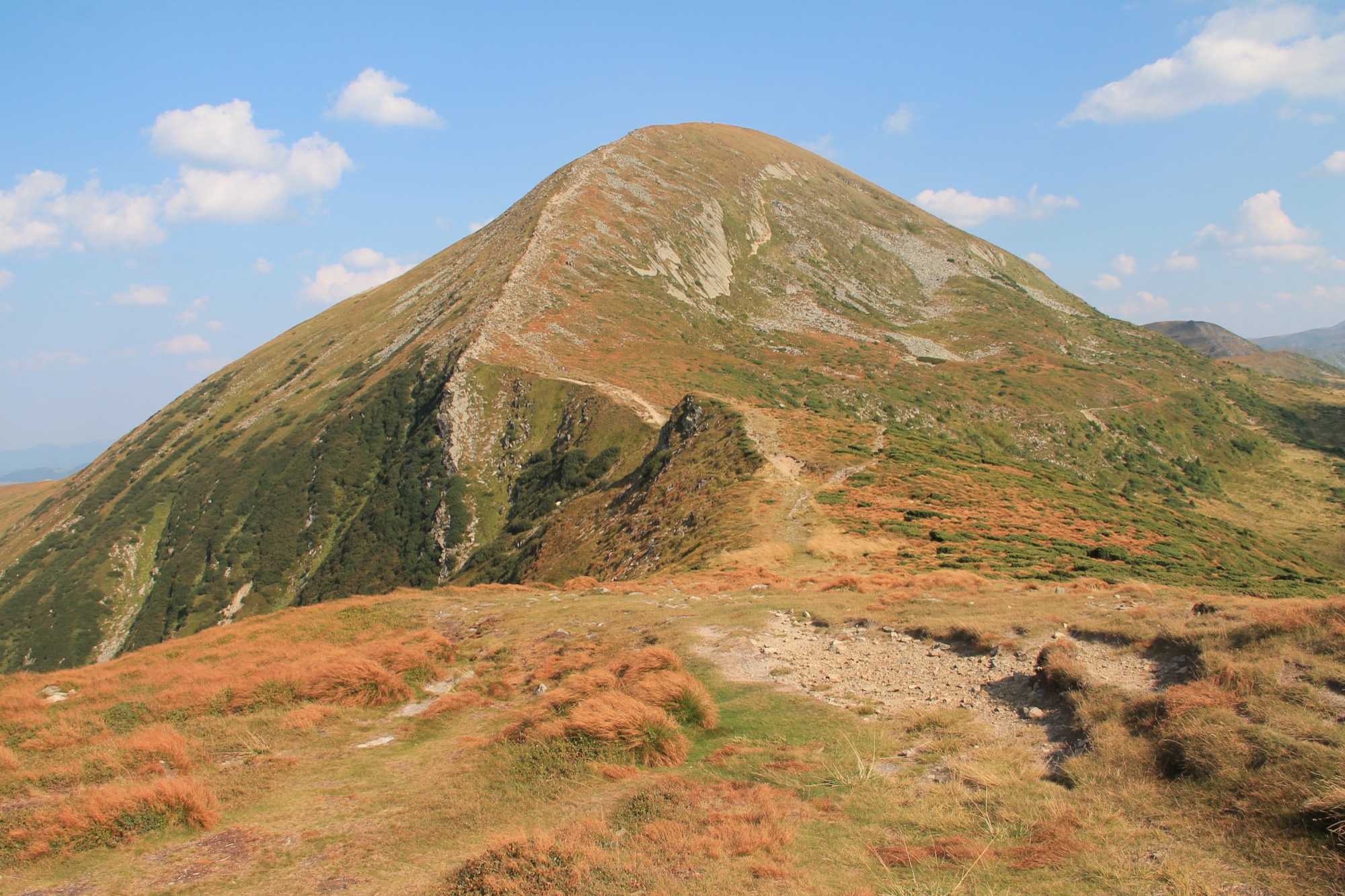
Goal · 2061 m
Hoverla
Ukraine's highest point from the Zaroslyak base — on two waymarked trails, blue and green.
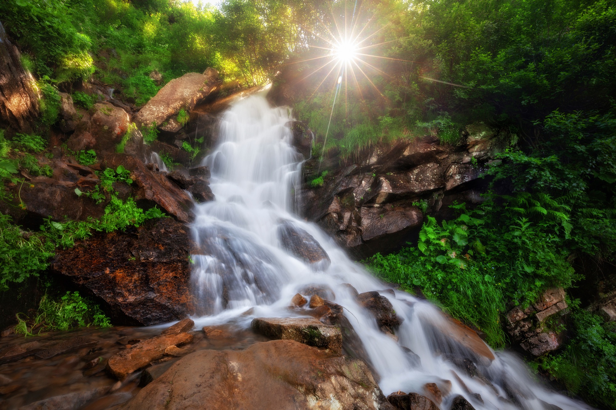 Easy
Goal · ~1438 m
Dzembronya Waterfalls
From Upper Dzembronya along the blue trail over the Smotrych meadow to the Dzembronya waterfalls on the Munchel stream, out and back, without going up onto the ridge.
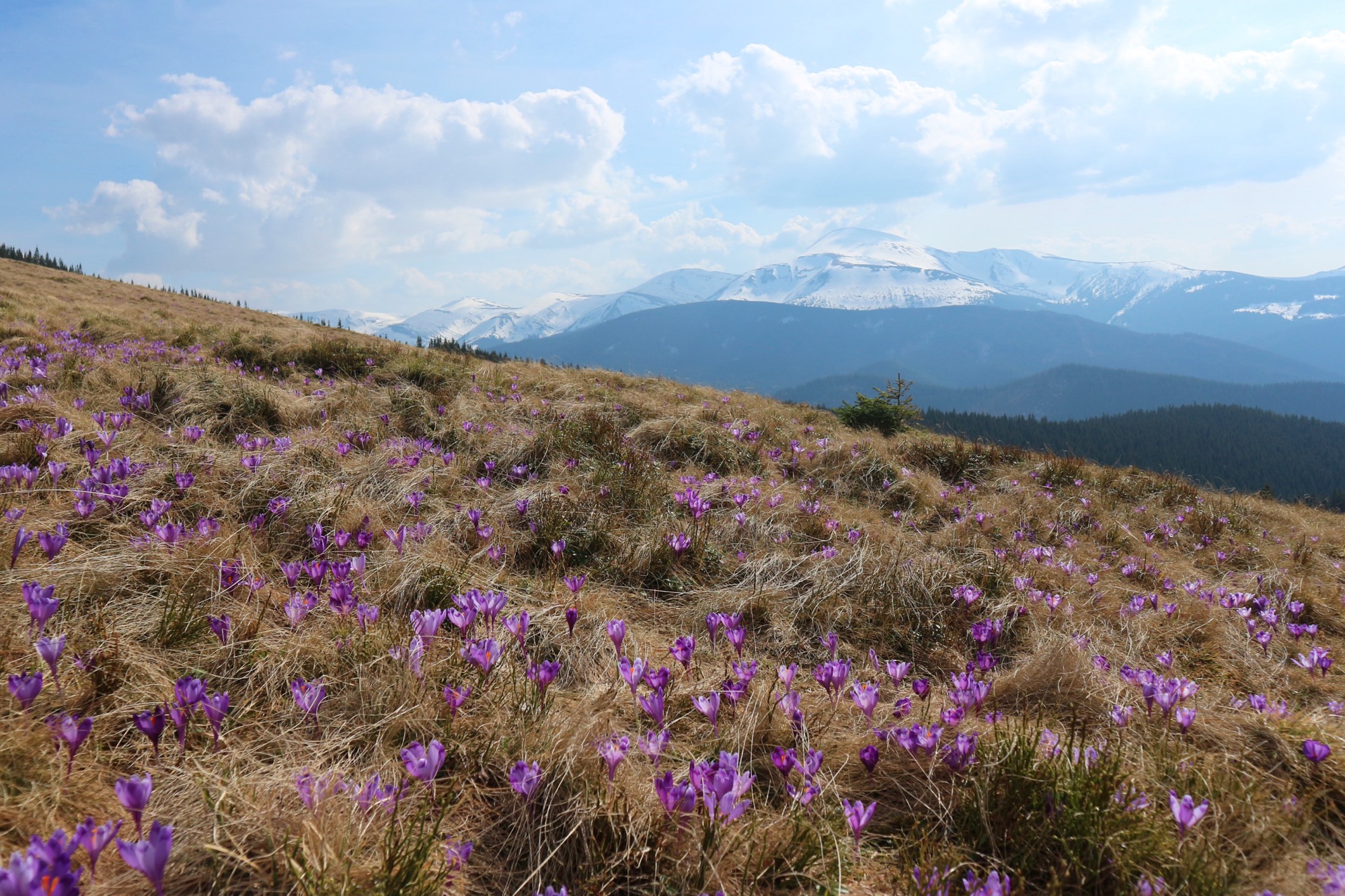 Easy
Goal · 1539 m
Kukul from Zavoiela
An ascent of Kukul (1539 m) from the Carpathian National Nature Park checkpoint in Zavoiela on the blue trail over the Zakukul meadow, out and back.
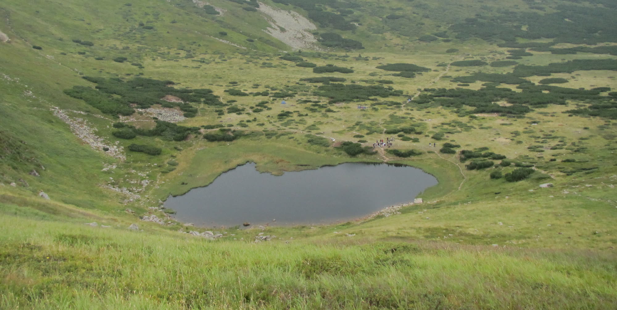 Easy, entry fee
Goal · 1750 m
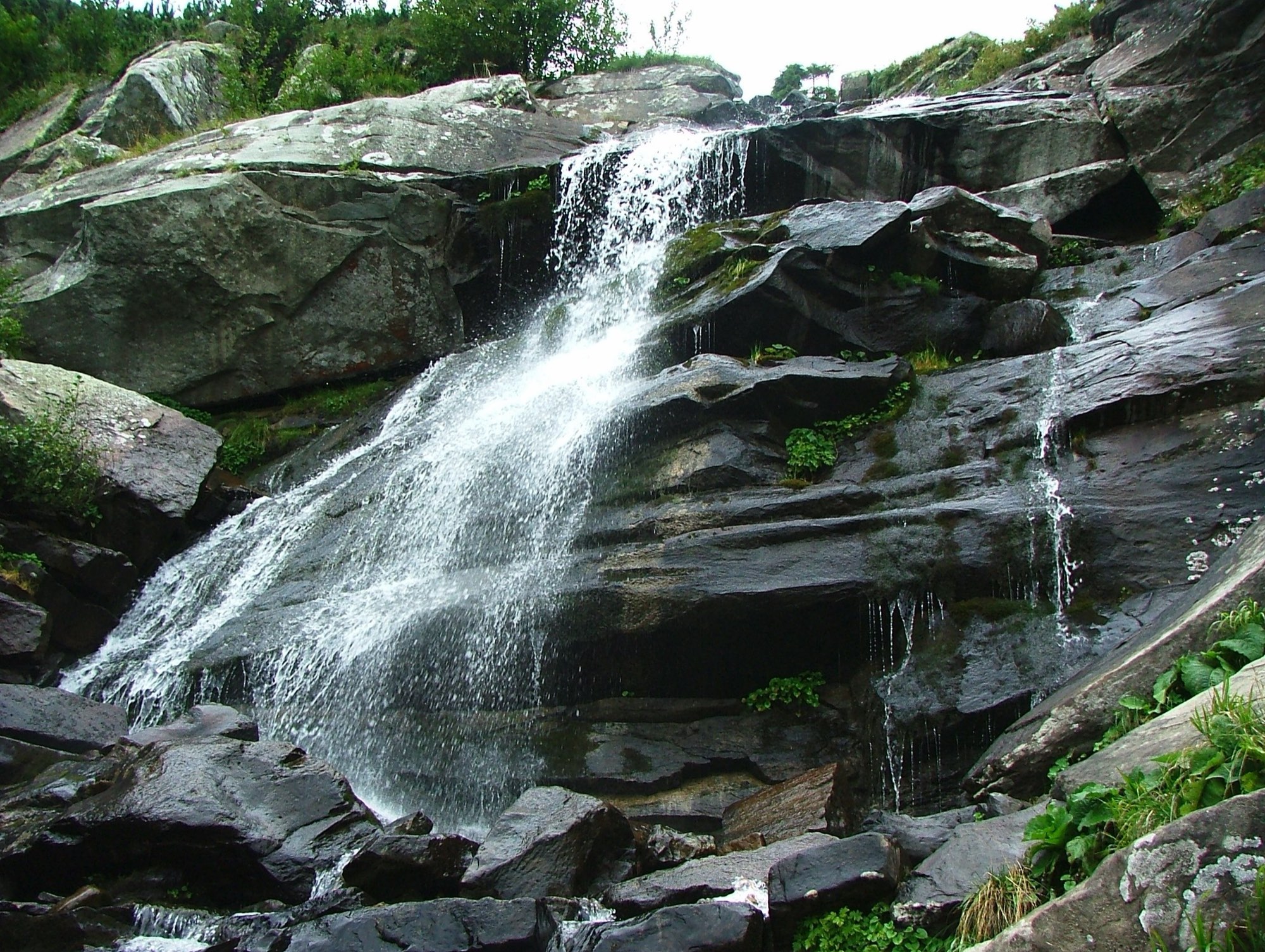
Lake Nesamovyte
A glacial lake at 1750 m below Turkul — on the yellow trail from the Zaroslyak base, out and back.
 Easy, entry fee
Goal · ~1477 m
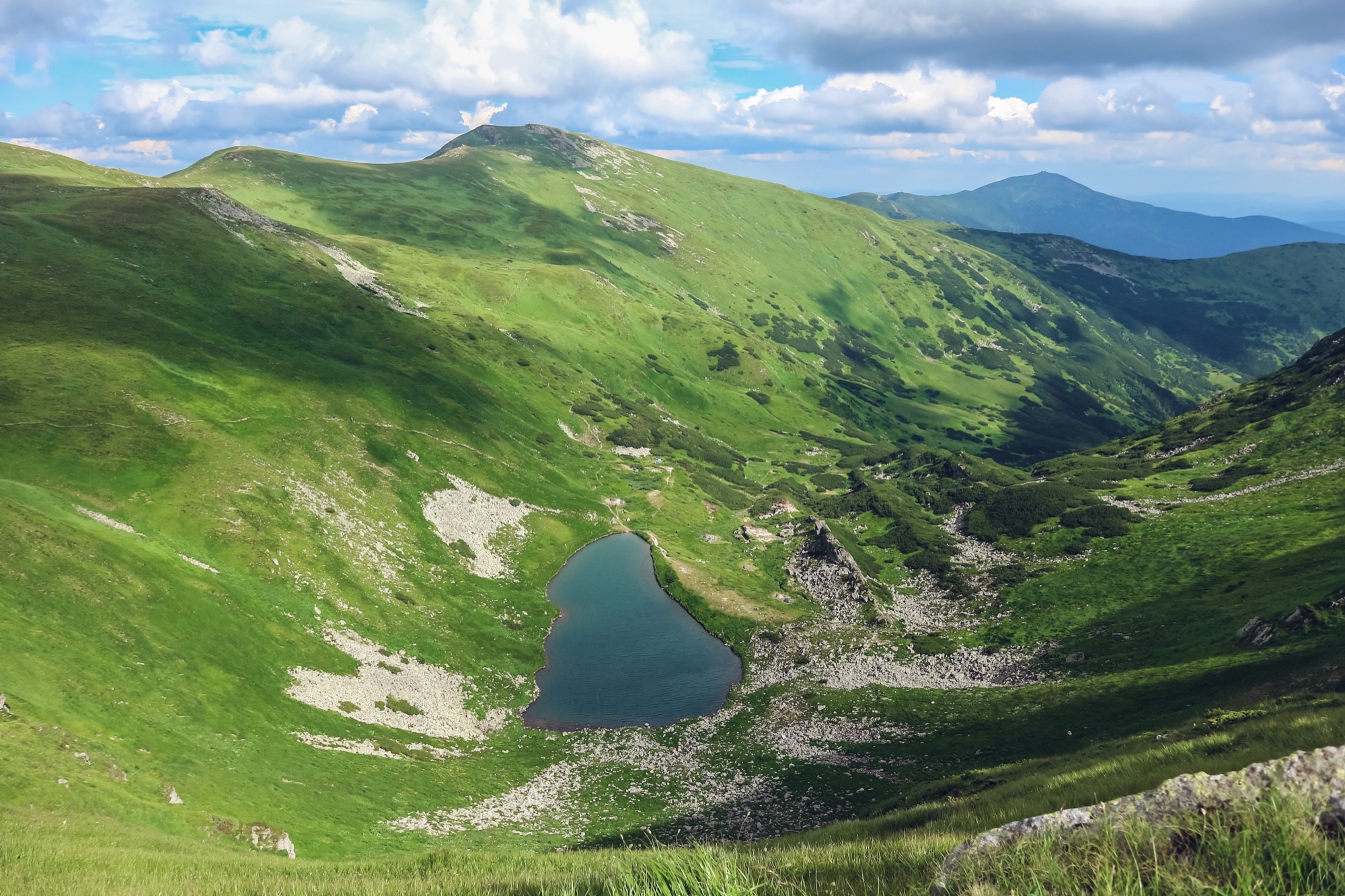
Prut Waterfall
A cascade on the Prut below Hoverla — a short walk from the Zaroslyak base, out and back on the same path.
 Medium, entry fee
Goal · 2038 m
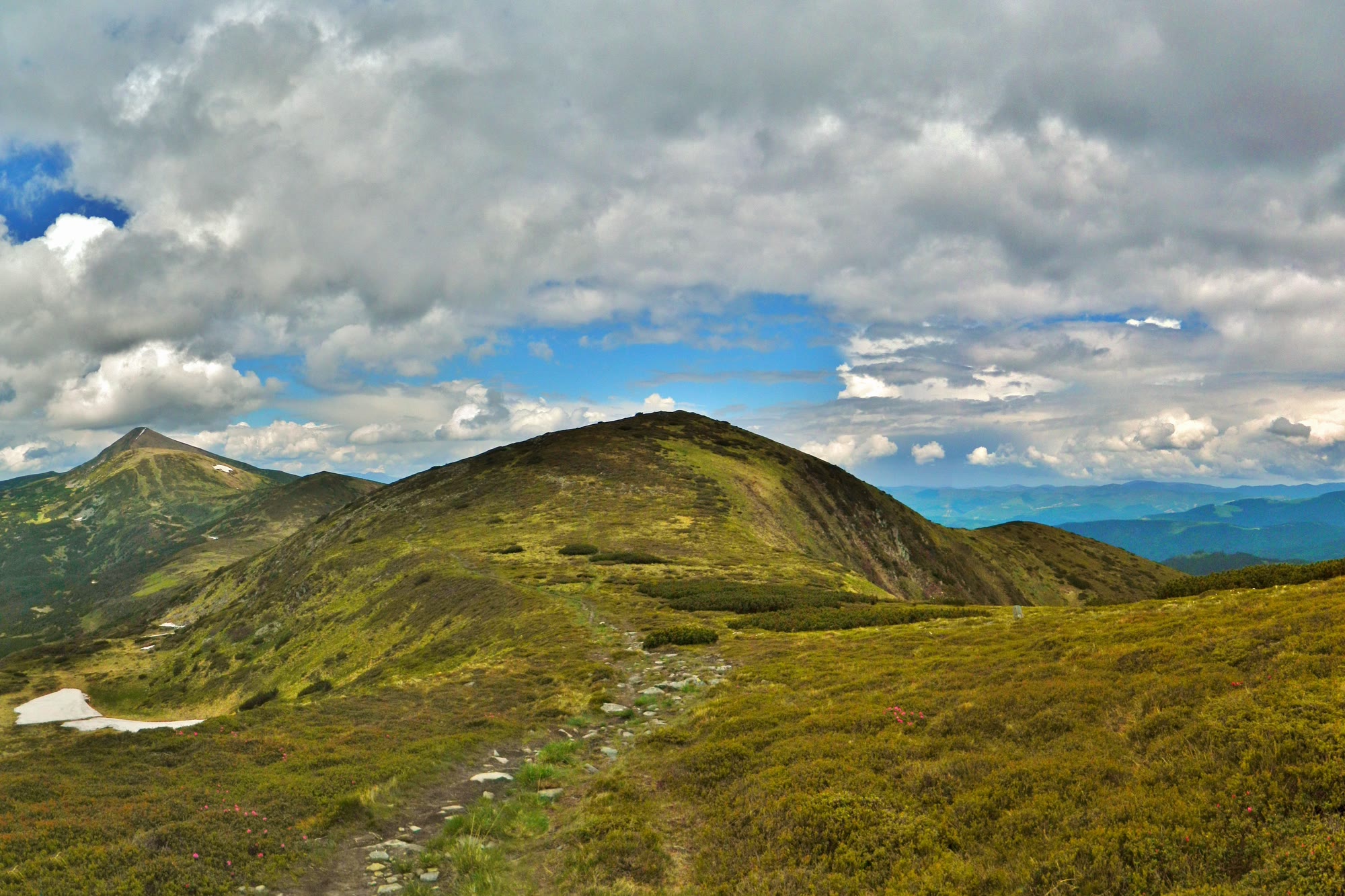
Permit: The route enters the border zone. The permit comes from the 31st Border Guard Detachment (DPSU): apply in advance with your route and dates; review takes up to 10 working days.Brebeneskul from Zaroslyak
An ascent of Brebeneskul (2038 m), Ukraine's second-highest summit, from the Zaroslyak base — past Lake Nesamovyte and along the Chornohora main ridge over Rebra, out and back.
 Medium, entry fee
Goal · 1850 m
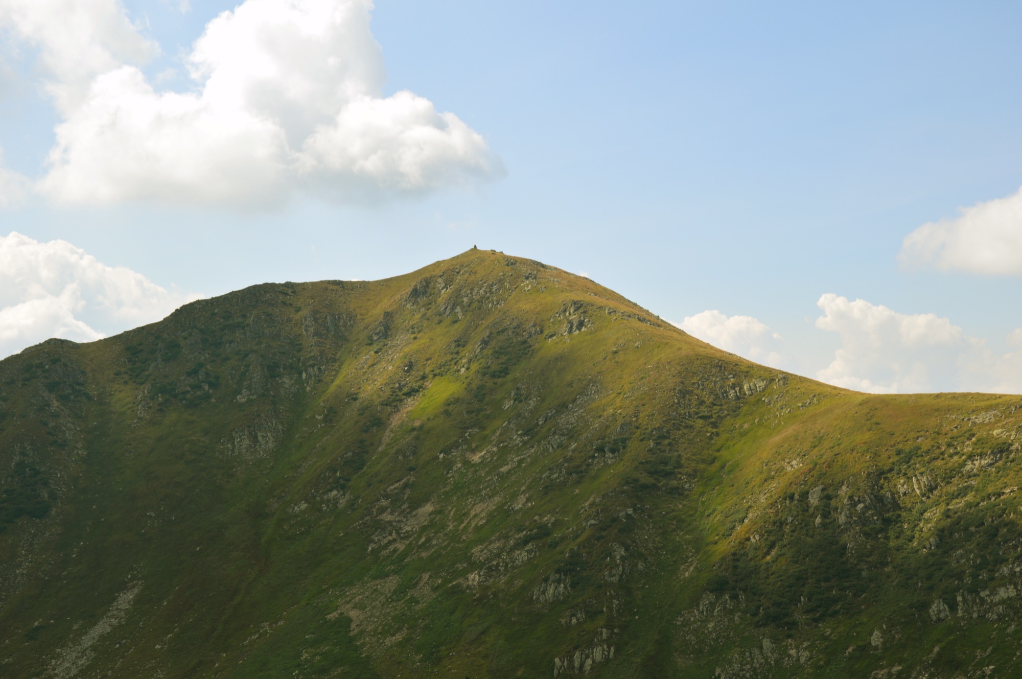
Permit: The route enters the border zone. The permit comes from the 31st Border Guard Detachment (DPSU): apply in advance with your route and dates; review takes up to 10 working days.Dantsyzh from Zaroslyak
An ascent of Dantsyzh (1850 m) from the Zaroslyak base — by Lake Nesamovyte and Turkul, or over Hoverla along the Chornohora main ridge, out and back.
 Medium, entry fee
Goal · 2016 m
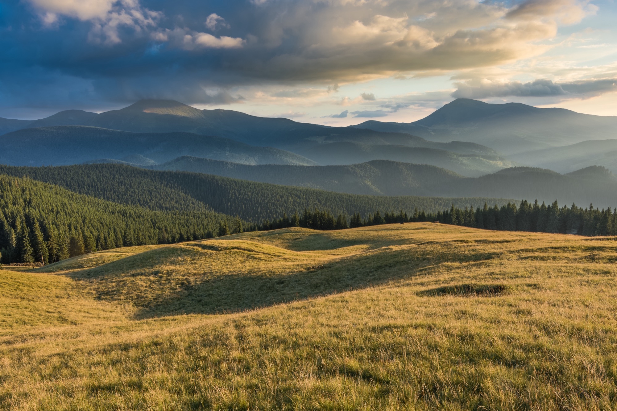
Hutyn Tomnatyk from Zaroslyak
An ascent of Hutyn Tomnatyk (2016 m), Ukraine's fifth-highest summit, from the Zaroslyak base — past Lake Nesamovyte and along the Chornohora main ridge over Rebra, out and back.
 Medium
Goal · 1539 m
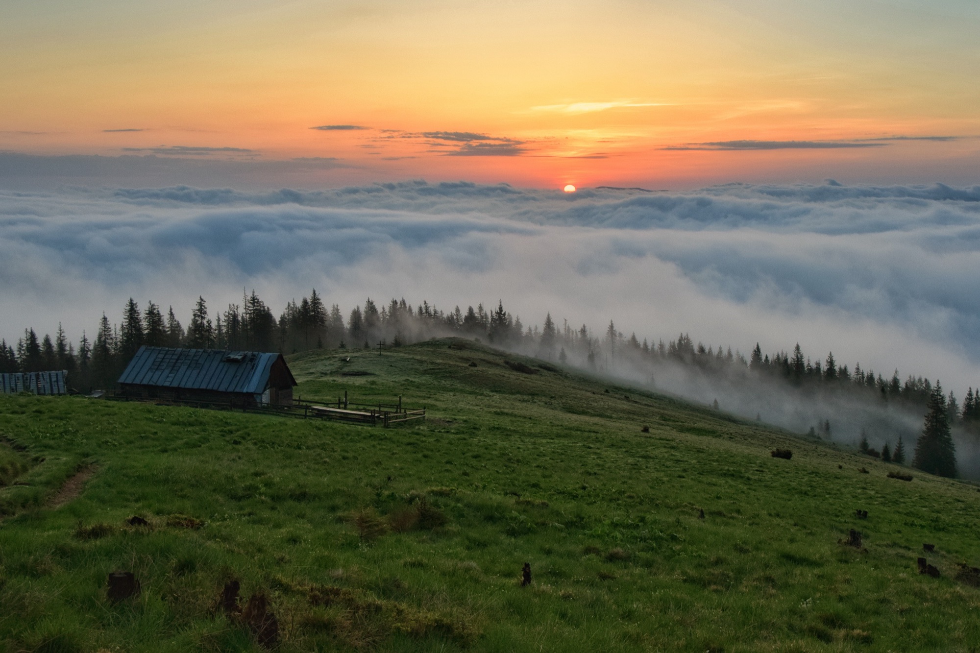
Kukul from Lazeshchyna
The green loop from Lazeshchyna to Kukul (1539 m): up the valley and the Beskydia stream to the Kukul meadow, back along the ridge over the Ozirna, Serednia and Hryhorivka meadows.
 Medium
Goal · 1539 m
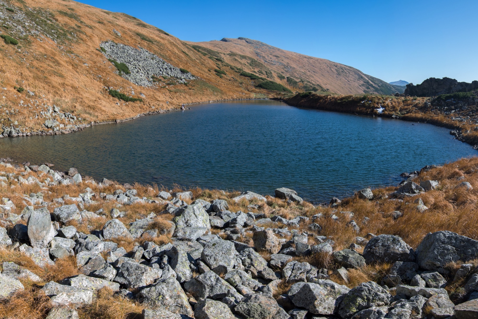
Kukul from Vorokhta
An ascent of Kukul (1539 m) from Vorokhta on the blue trail past Oseredok, over the Pereslip pass and the Labieska meadow, out and back.
 Medium, entry fee
Goal · 1801 m
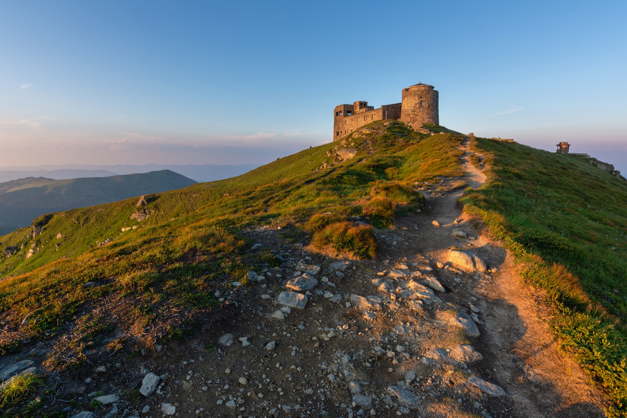
Permit: The route enters the border zone. The permit comes from the 31st Border Guard Detachment (DPSU): apply in advance with your route and dates; review takes up to 10 working days.Lake Brebeneskul from Zaroslyak
A hike to Lake Brebeneskul (1801 m), the highest lake in Ukraine, from the Zaroslyak base — past Lake Nesamovyte and along the Chornohora main ridge, out and back.
 Medium
Goal · 2028 m
Permit: The route enters the border zone. The permit comes from the 31st Border Guard Detachment (DPSU): apply in advance with your route and dates; review takes up to 10 working days.Pip Ivan from Shybene
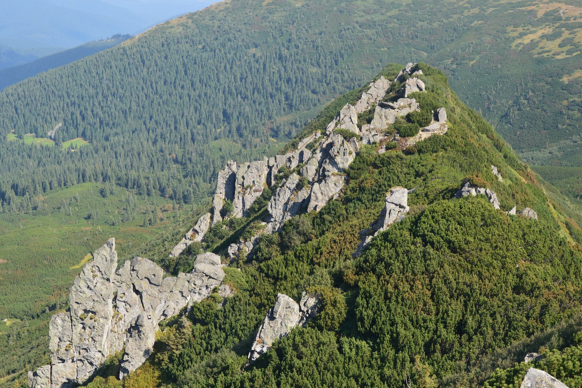
An ascent of Pip Ivan Chornohirskyi (2028 m) from Shybene on the green trail — across the Vesnarka meadow and past Lake Maricheika, out and back.
 Medium
Goal · 1863 m
Shpytsi from Bystrets
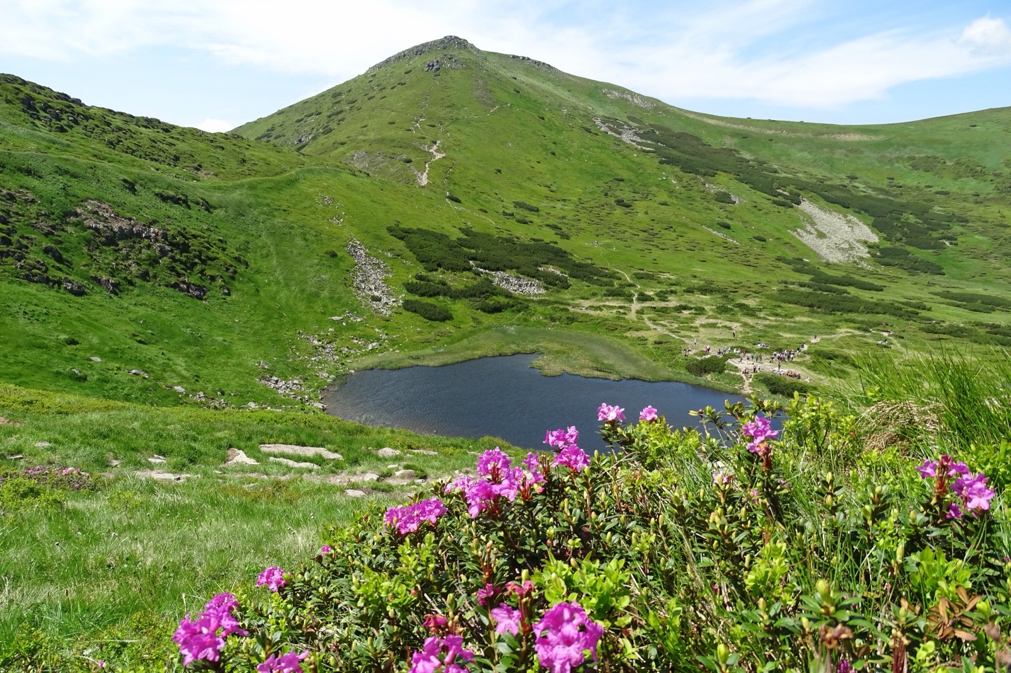
A hike to Shpytsi (1863 m) from the village of Bystrets on the green trail over the Maryshevska meadow, out and back.
 Medium, entry fee
Goal · 1933 m
Permit: The route enters the border zone. The permit comes from the 31st Border Guard Detachment (DPSU): apply in advance with your route and dates; review takes up to 10 working days.Turkul via Lake Nesamovyte
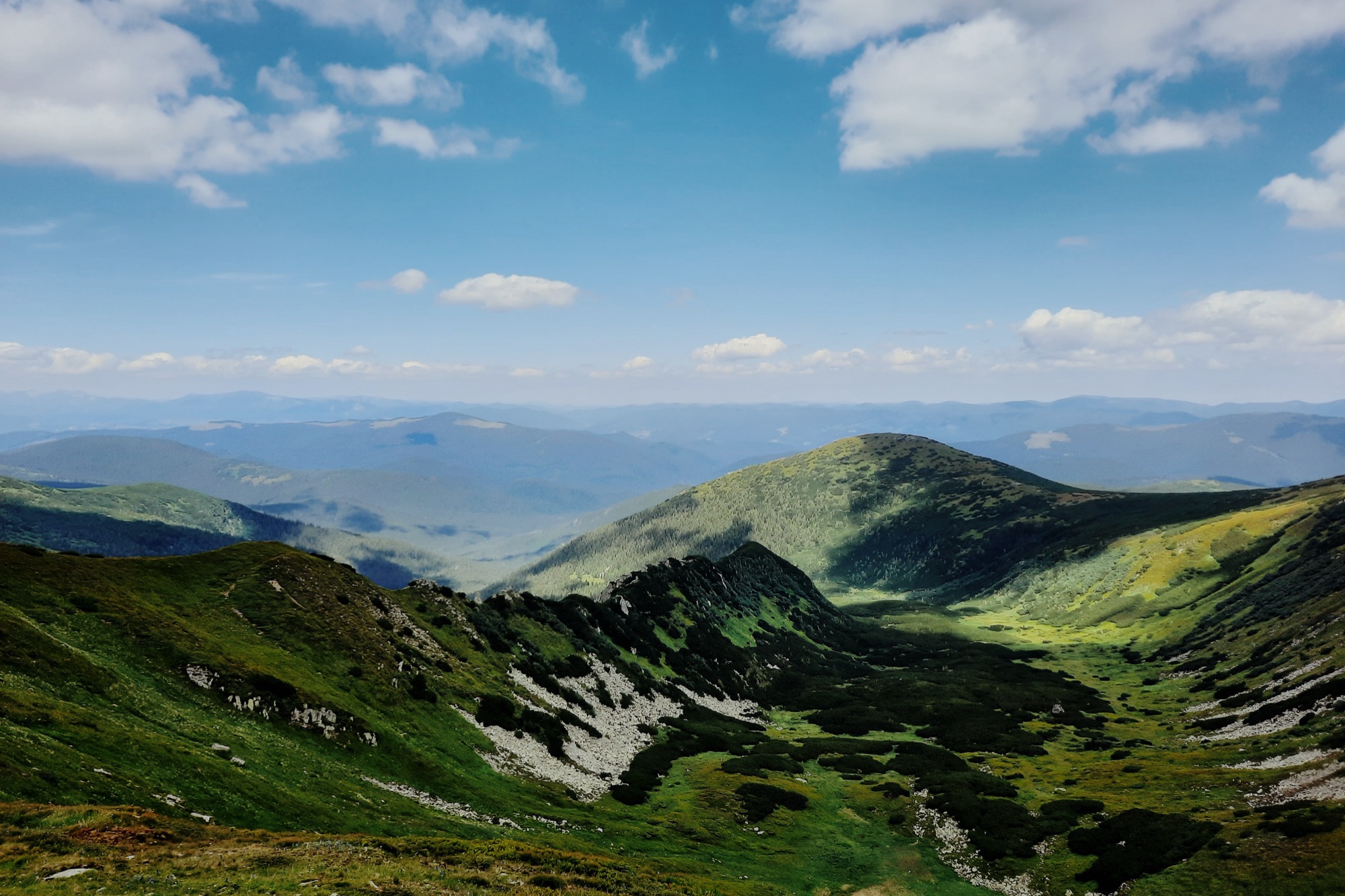
An ascent of Turkul (1933 m) from the Zaroslyak base — on the yellow trail to Lake Nesamovyte, then up to the Chornohora main ridge, out and back.
 Hard
Goal · 2038 m
Permit: The route enters the border zone. The permit comes from the 31st Border Guard Detachment (DPSU): apply in advance with your route and dates; review takes up to 10 working days.Brebeneskul from Bystrets
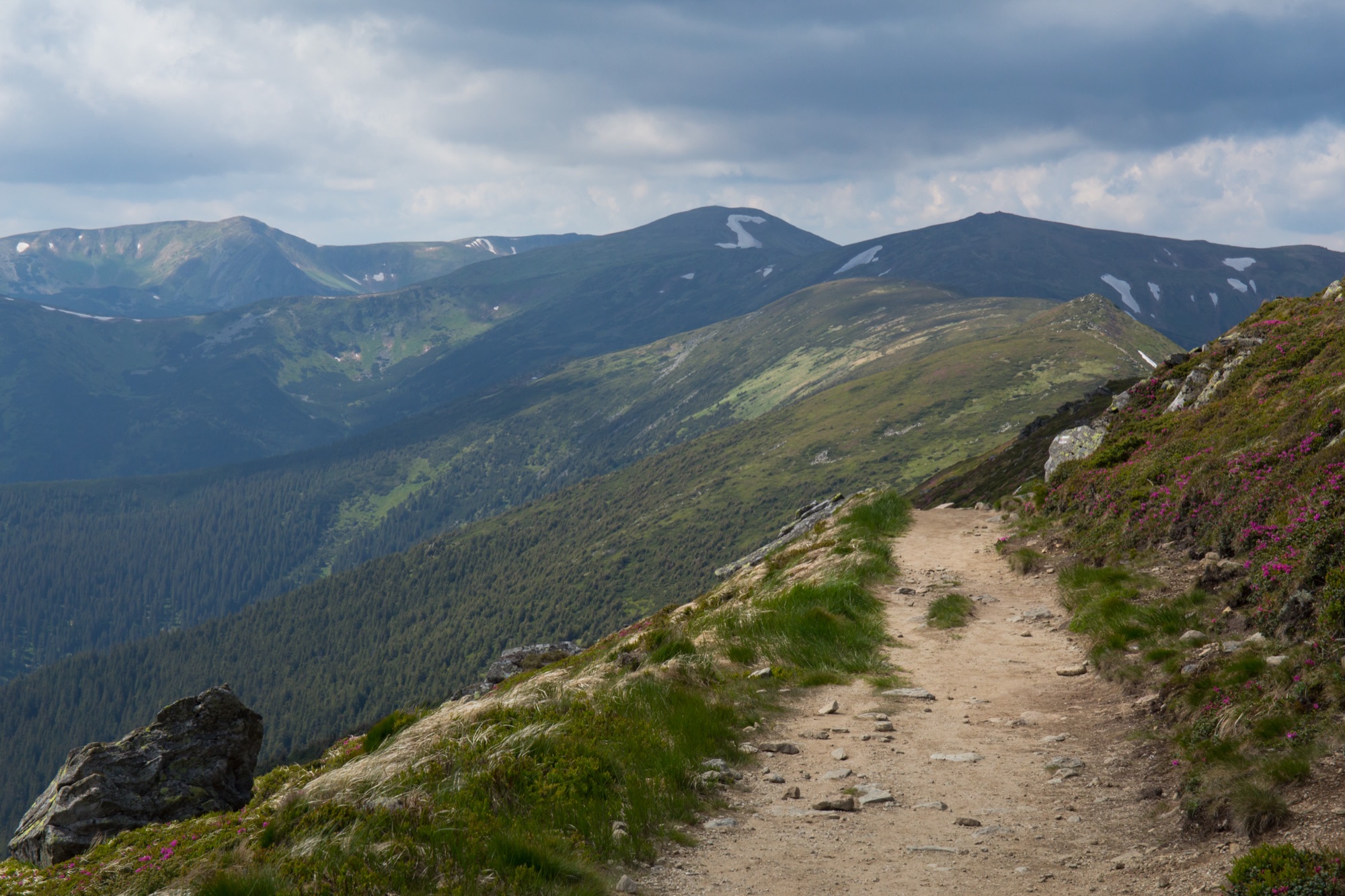
An ascent of Brebeneskul (2038 m), Ukraine's second-highest summit, from the village of Bystrets — on the green trail across the Maryshevska meadow and past Shpytsi to the Chornohora main ridge, then on the red past Rebra, out and back.
 Hard, entry fee
Goal · 2028 m
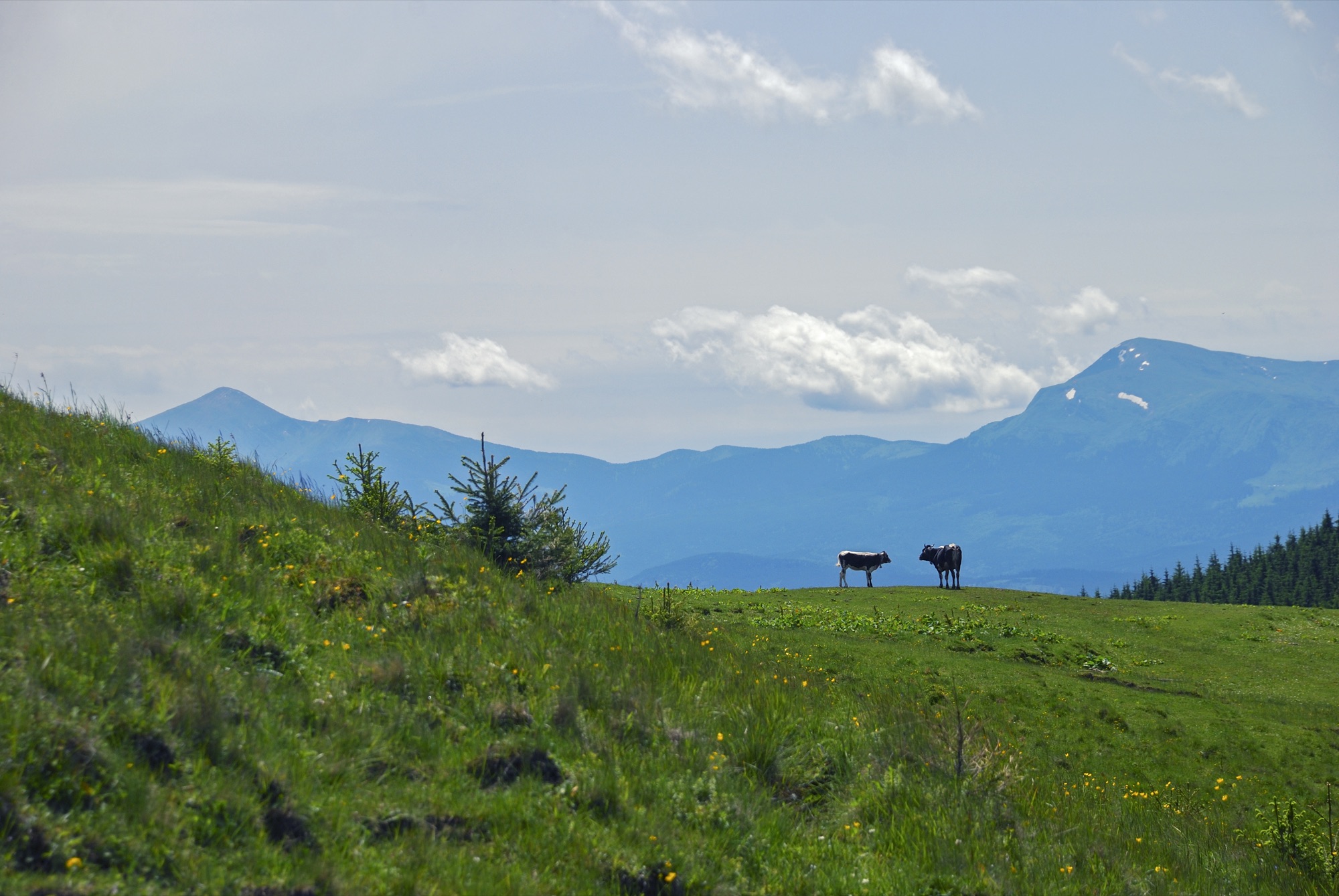
Permit: The route enters the border zone. The permit comes from the 31st Border Guard Detachment (DPSU): apply in advance with your route and dates; review takes up to 10 working days.Chornohora Traverse: Hoverla → Pip Ivan
A traverse of the Chornohora main ridge from the Zaroslyak base: up Hoverla, 18 km along the ridge on the red trail to Pip Ivan and down to Upper Dzembronya, one way, usually over two days.
 Hard, entry fee
Goal · 2020 m
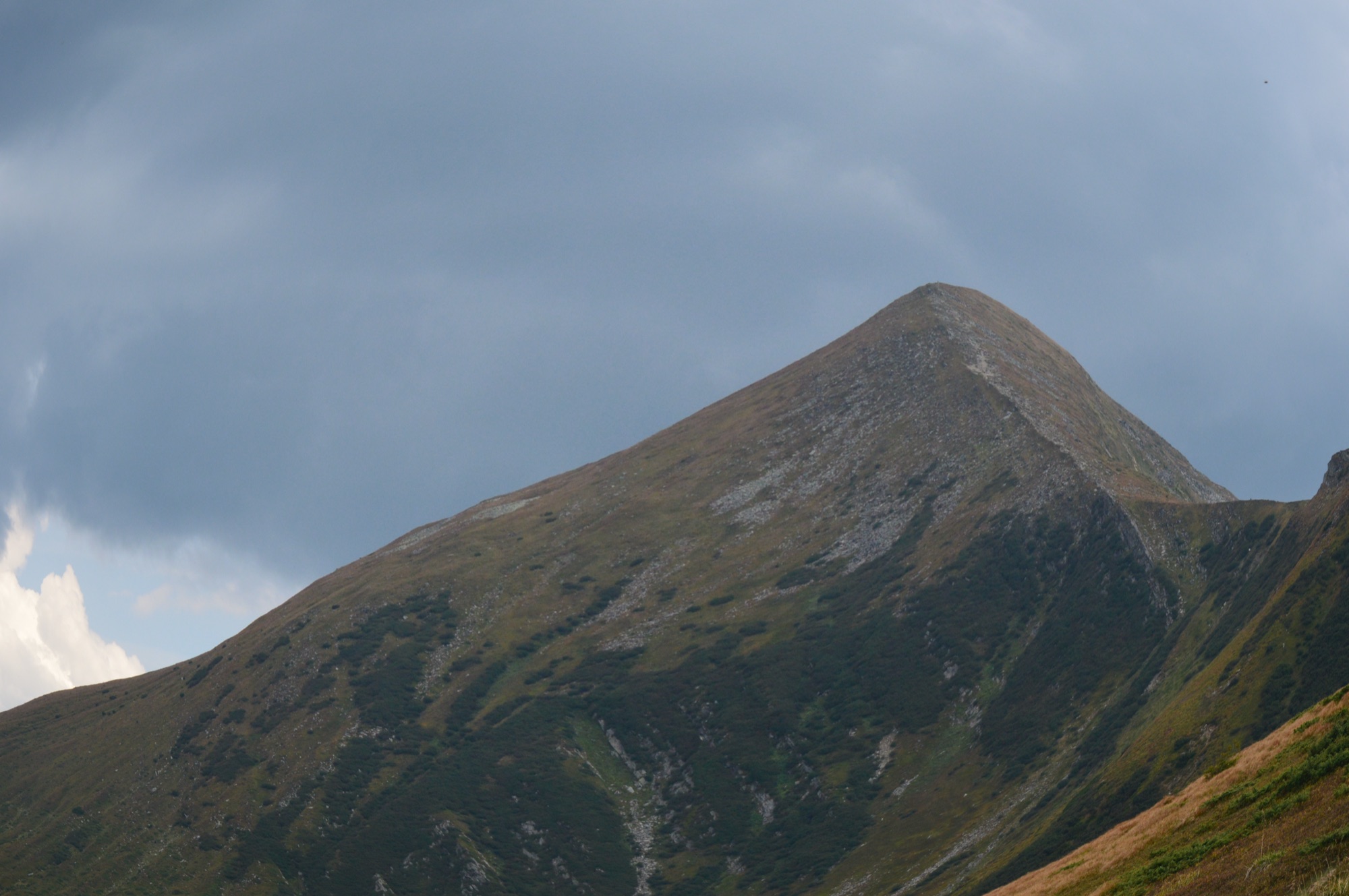
Hoverla and Petros in a Day
Two Chornohora summits above 2000 m from the Zaroslyak base: Hoverla (2061 m) and Petros (2020 m), out and back over Hoverla.
 Hard, entry fee
Goal · 2061 m
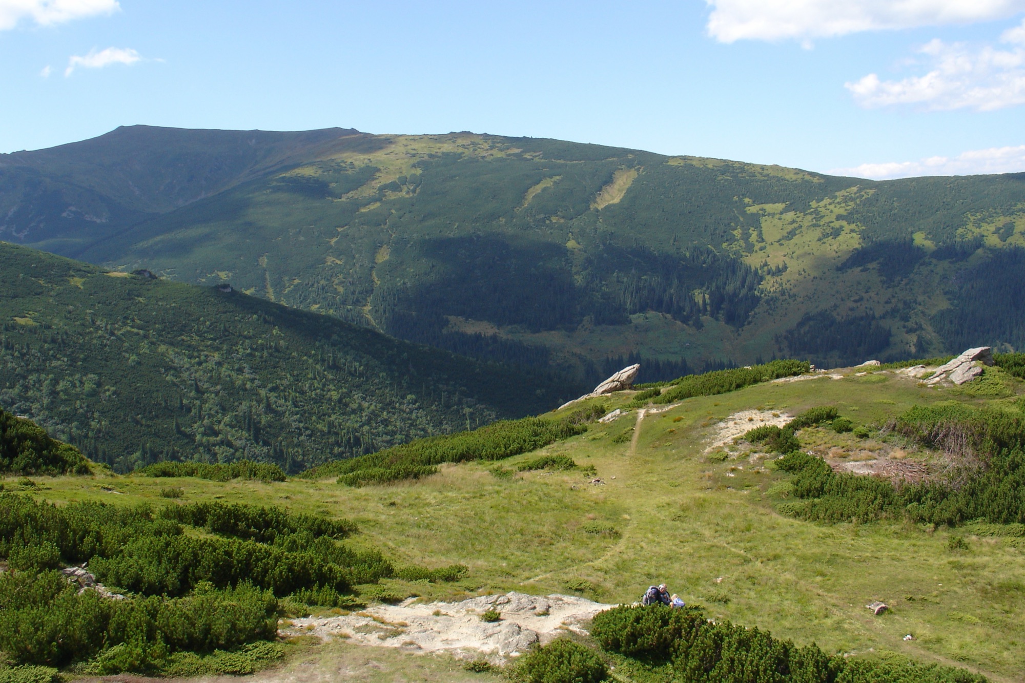
Hoverla from Lazeshchyna
An ascent of Hoverla (2061 m) from the village of Lazeshchyna via the Kozmeshchyk clearing — on two waymarked trails, over the Hropa or the Kozmeska meadow, out and back.
 Hard
Goal · 1998 m
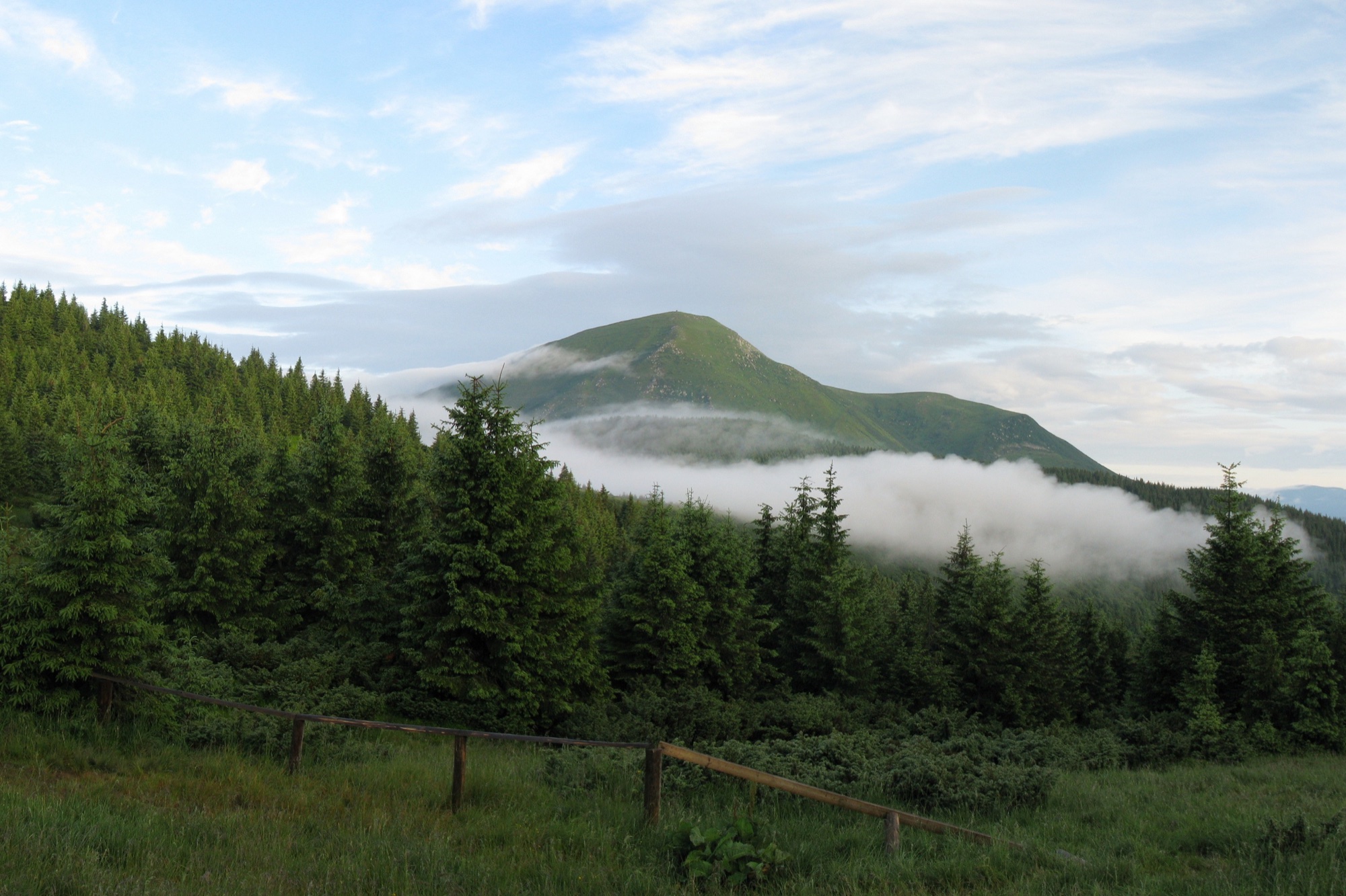
Permit: The route enters the border zone. The permit comes from the 31st Border Guard Detachment (DPSU): apply in advance with your route and dates; review takes up to 10 working days.Menchul from Dzembronya
An ascent of Menchul (1998 m) from Upper Dzembronya — through the Chufrova meadow or on waymarked trails over Smotrych and the main ridge, out and back.
 Hard, entry fee
Goal · 2020 m
Petros from Kvasy
An ascent of Petros (2020 m) from the village of Kvasy on the red trail over the Menchul and Shumneska meadows, out and back.
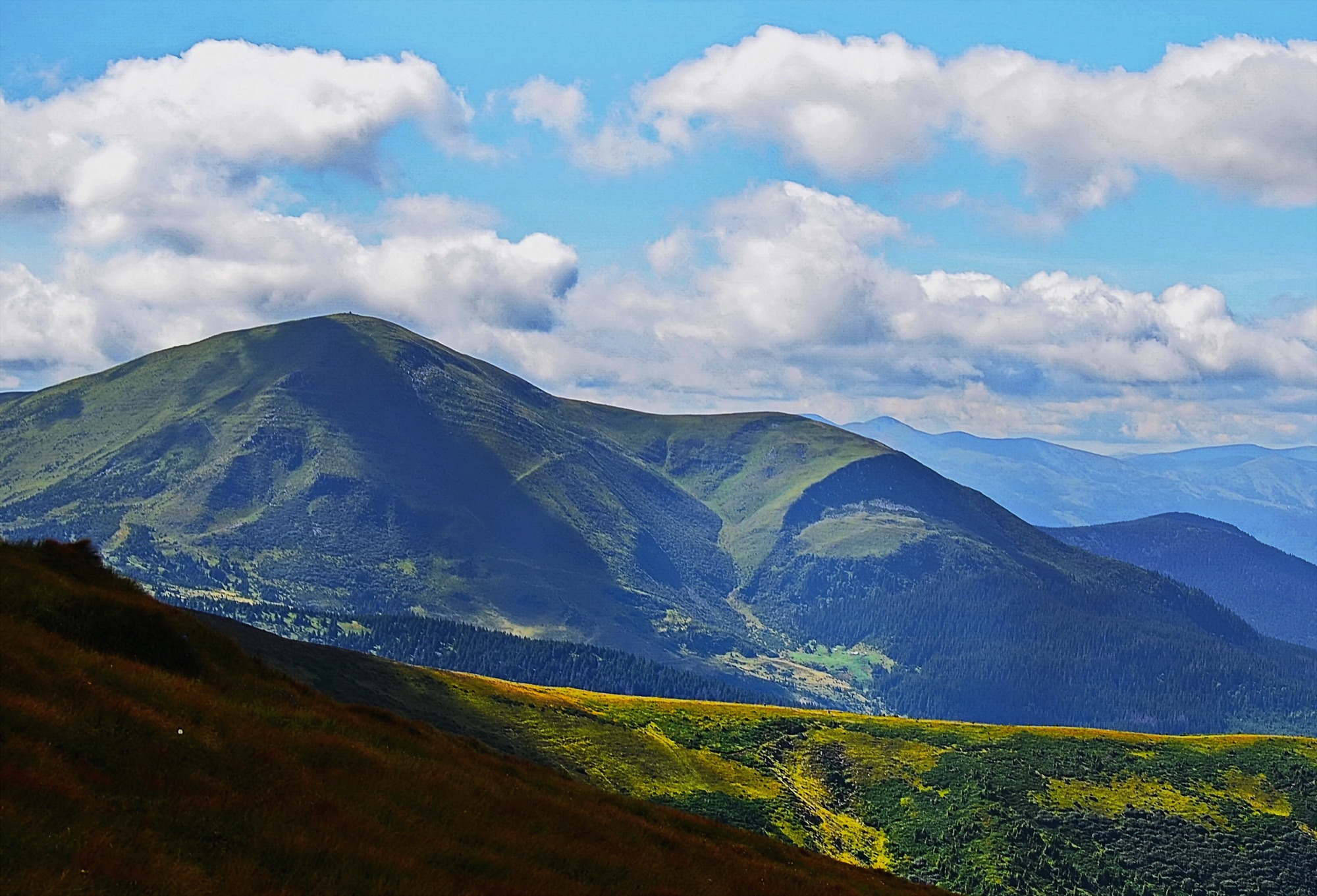 Hard, entry fee
Goal · 2020 m
Petros from Lazeshchyna
An ascent of Petros (2020 m) from the village of Lazeshchyna via the Kozmeshchyk clearing and the Holovcheska meadow, out and back.
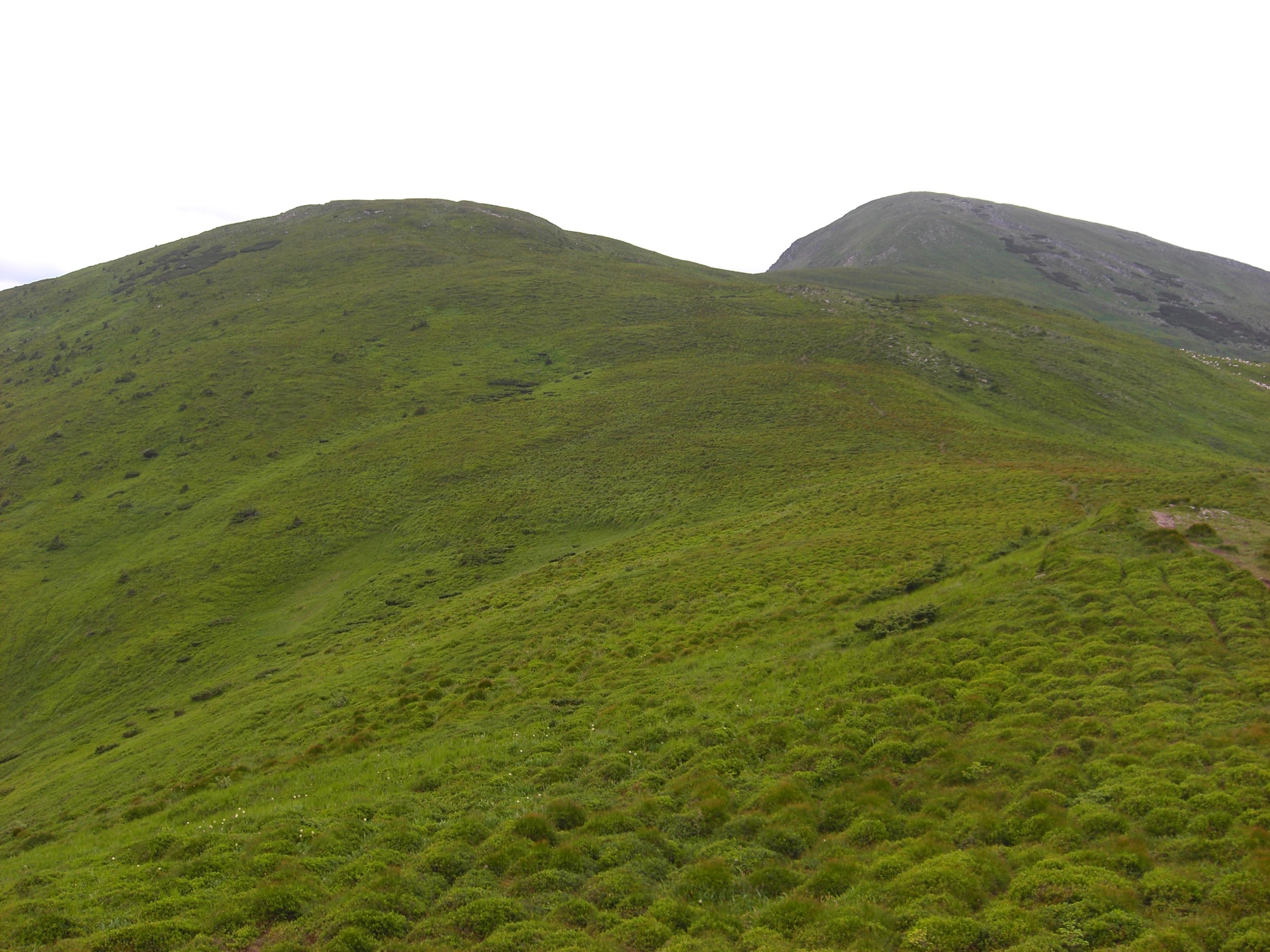 Hard
Goal · 2020 m
Petros from Yasinia
An ascent of Petros (2020 m) from the town of Yasinia on the blue trail over Mount Petrosul, out and back.
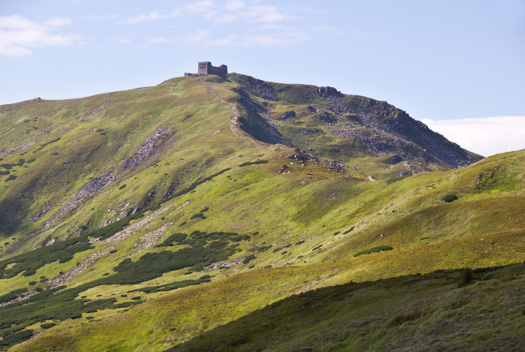 Hard
Goal · 2028 m
Permit: The route enters the border zone. The permit comes from the 31st Border Guard Detachment (DPSU): apply in advance with your route and dates; review takes up to 10 working days.Pip Ivan from Dzembronya
An ascent of Pip Ivan Chornohirskyi (2028 m) from Dzembronya — past the waterfalls and Vukhatyi Kamin or over the top of Smotrych, out and back.
When to walk the ridge
September – November
Drier and windier than summer
Every route is still in season, but the light is shrinking: on long routes the day ends before the trail does — start at first light and pack a headlamp. From late autumn Hoverla is already in winter conditions.
- Mean low, 1451 m−1.5…+6.1 °C
- Daylight~12.5 → ~9 h
- Max wind, Oct–Nov21.4–22.3 m/s