Yasinia — Petros · out and back
- Distance
- 29 km · out and back
- Elevation gain
- ↑ 1599 m
- On the trail
- 12 h
- Highest point
- 2020 m
- Trailhead elevation
- ~650 m · Yasinia
- Max steepness
- ≈35% over 200 m
- Difficulty
- Hard
ROUTE OVERVIEW
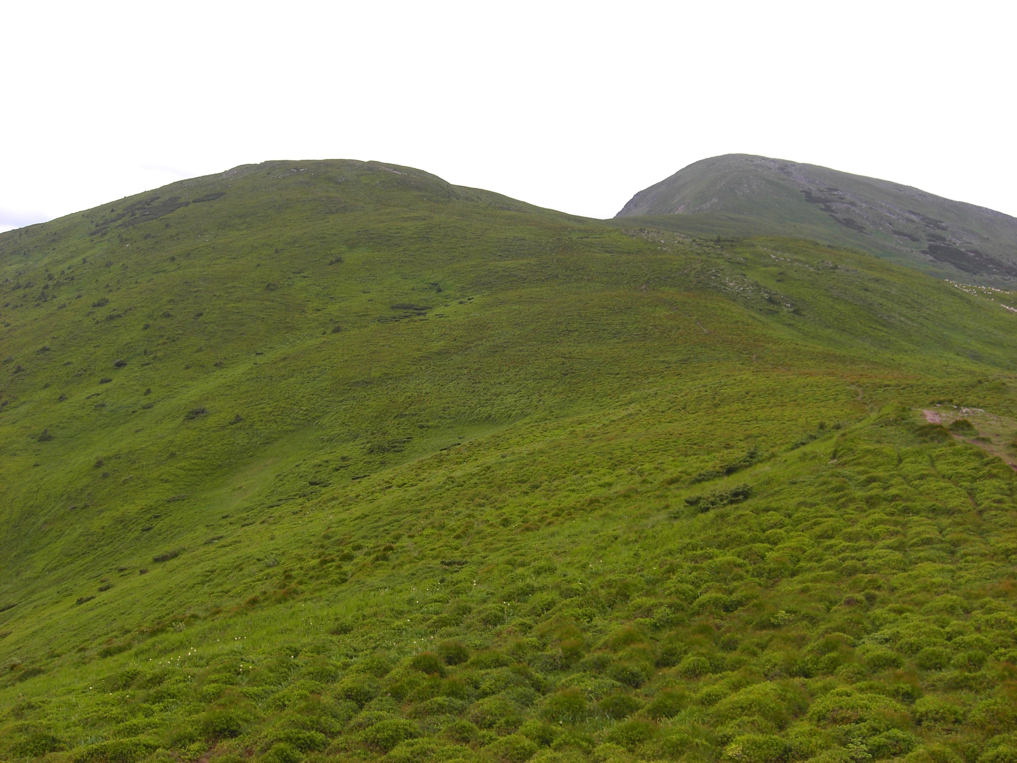
A peak above 2000 m with steep scree slopes to the west and sheer crags to the north.
An ascent of Petros (2020 m) from the town of Yasinia. A waymarked blue trail leads over the Shysa meadow and Mount Petrosul to the summit. Back the same way.
The blue waymarks are given by OpenStreetMap and Wikipedia. According to karpaty.rocks, the waymarks may be missing or partial.
According to Wikipedia, it is 6.5 hours up and 5.5 down. It is a long day: set off at first light. Mountain weather changes fast, so carry a rain shell and a warm layer, and turn back in a thunderstorm or fog.
In autumn daylight in Yasinia shrinks from 13.4 hours in early September to 8.7 at the end of November, and from late September it is shorter than the 12 hours of walking alone, before any breaks. So in autumn part of the way will most likely be walked in the dark: carry a headlamp.
- Petros is 2020 m
- A waymarked blue trail leads from Yasinia over Mount Petrosul
- The western and south-western slopes of Petros are steep, with scree; the northern and north-eastern ones are precipitous, with rock outcrops
Elevation profile
29 km · ↑ 1599 m
Route map
All routes on the mapSTAGE BY STAGE
- 0 kmYasiniaStart by the bus station, 1.1 km from the town centre
- Shysa meadowThe trail crosses the meadow
- 11.1 kmReserve signA «Carpathian Biosphere Reserve. Protected by law» sign by the trail
- 13.5 kmPetrosulThe trail goes over the top of Petrosul
- 14.5 kmPetrosThe summit; back the same way2020 m
- 29 kmYasiniaBack the same way
BEFORE YOU GO
Neither Petros nor Petrosul is on the list of places the State Border Guard Service closed to visitors without a permit (order of the 31st Border Guard Detachment No. 1663-АГ of 23 May 2024, checked 1 November 2026). At kilometre 11 a sign by the trail reads «Carpathian Biosphere Reserve. Protected by law». The reserve charges an entry fee for waymarked routes and eco-trails, 100 UAH or 50 UAH concession, and sells tickets «at the start of the route (checkpoint) or at the reserve's office» in Rakhiv. OpenStreetMap shows no checkpoint on this trail, and the reserve does not say whether those coming from Yasinia pay.
IF SOMETHING HAPPENS
- 101State Emergency Service — mountain emergency call
- 112Single emergency number: goes through any network in range, even without your carrier’s coverage
- Rescue in the MountainsThe rescue service’s app, install in advance — it sends your coordinatesApp StoreGoogle Play
- Zaroslyak postRescue post · ≈ 17.7 km in a straight line from the start
OTHER APPROACHES
 Hard, entry fee
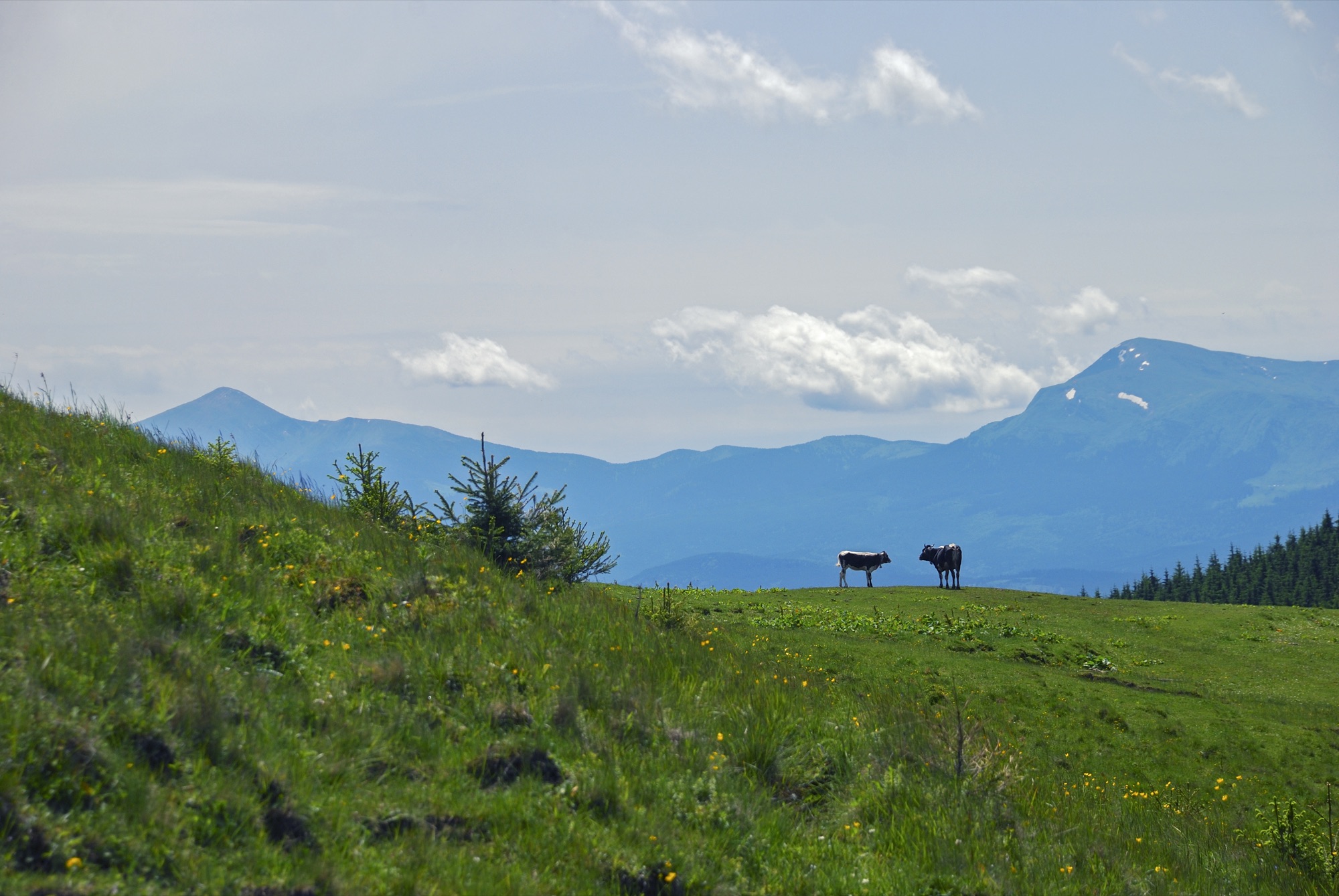
Hoverla and Petros in a Day
Two Chornohora summits above 2000 m from the Zaroslyak base: Hoverla (2061 m) and Petros (2020 m), out and back over Hoverla.
 Hard, entry fee
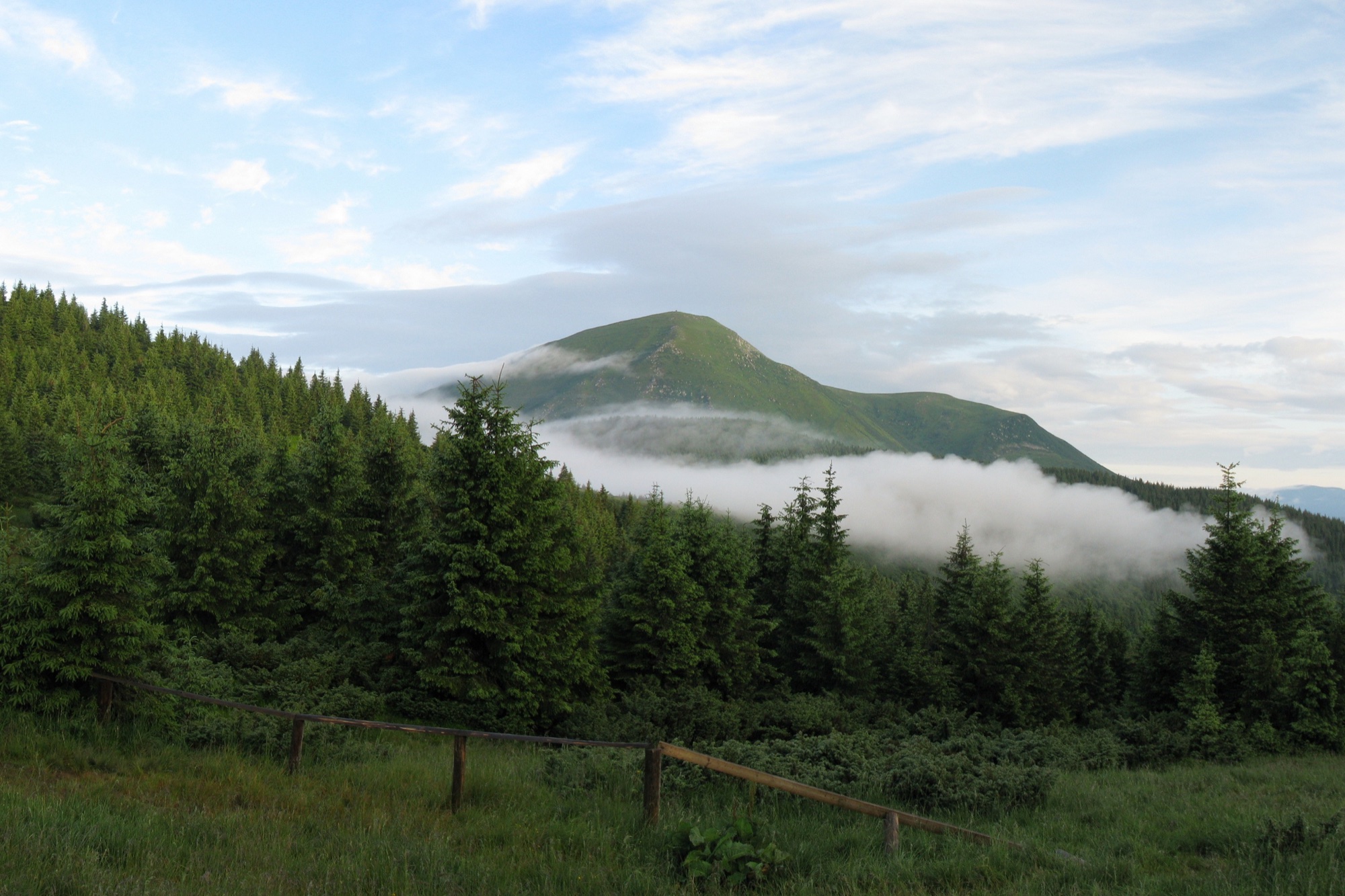
Petros from Kvasy
An ascent of Petros (2020 m) from the village of Kvasy on the red trail over the Menchul and Shumneska meadows, out and back.
 Hard, entry fee
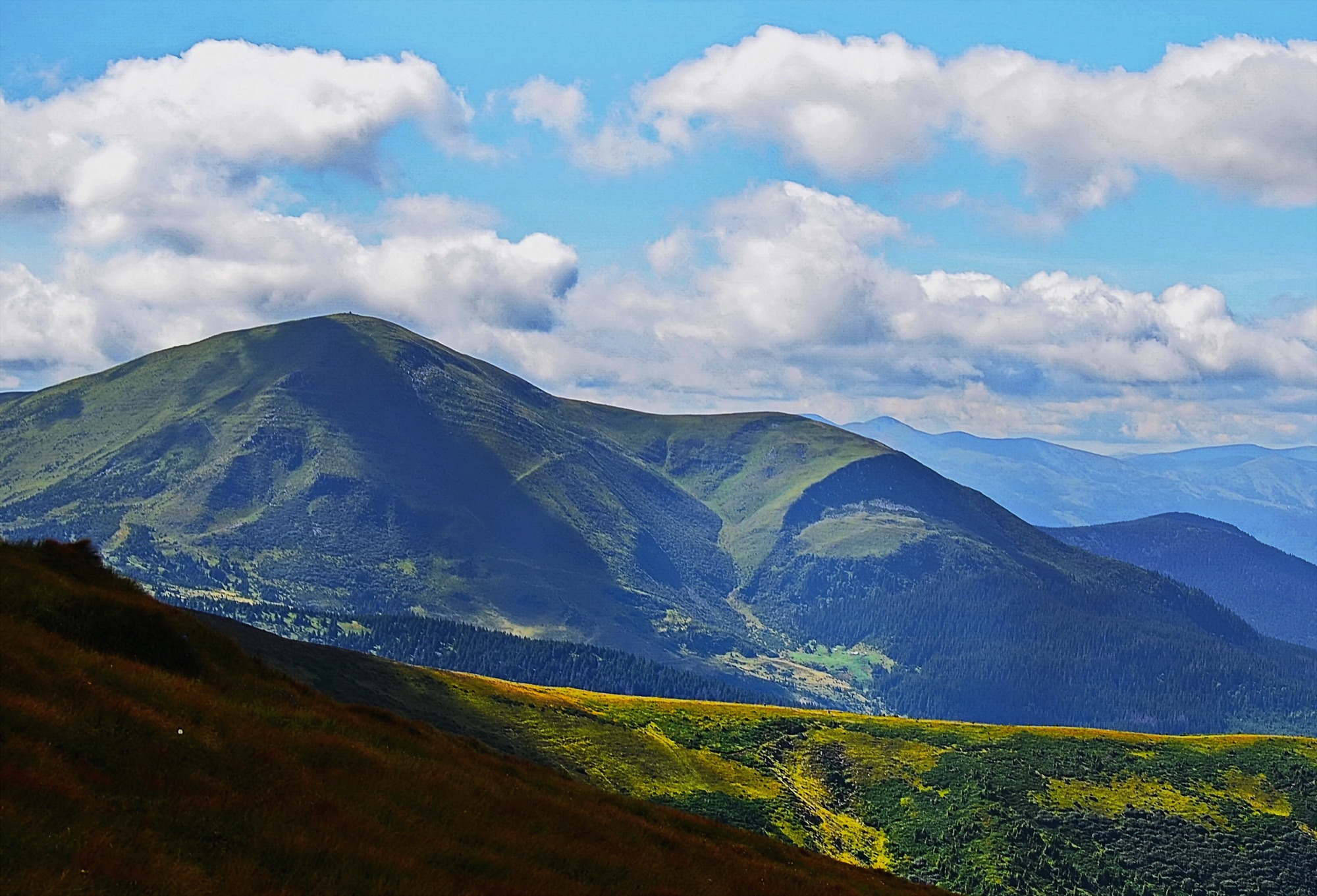
Petros from Lazeshchyna
An ascent of Petros (2020 m) from the village of Lazeshchyna via the Kozmeshchyk clearing and the Holovcheska meadow, out and back.