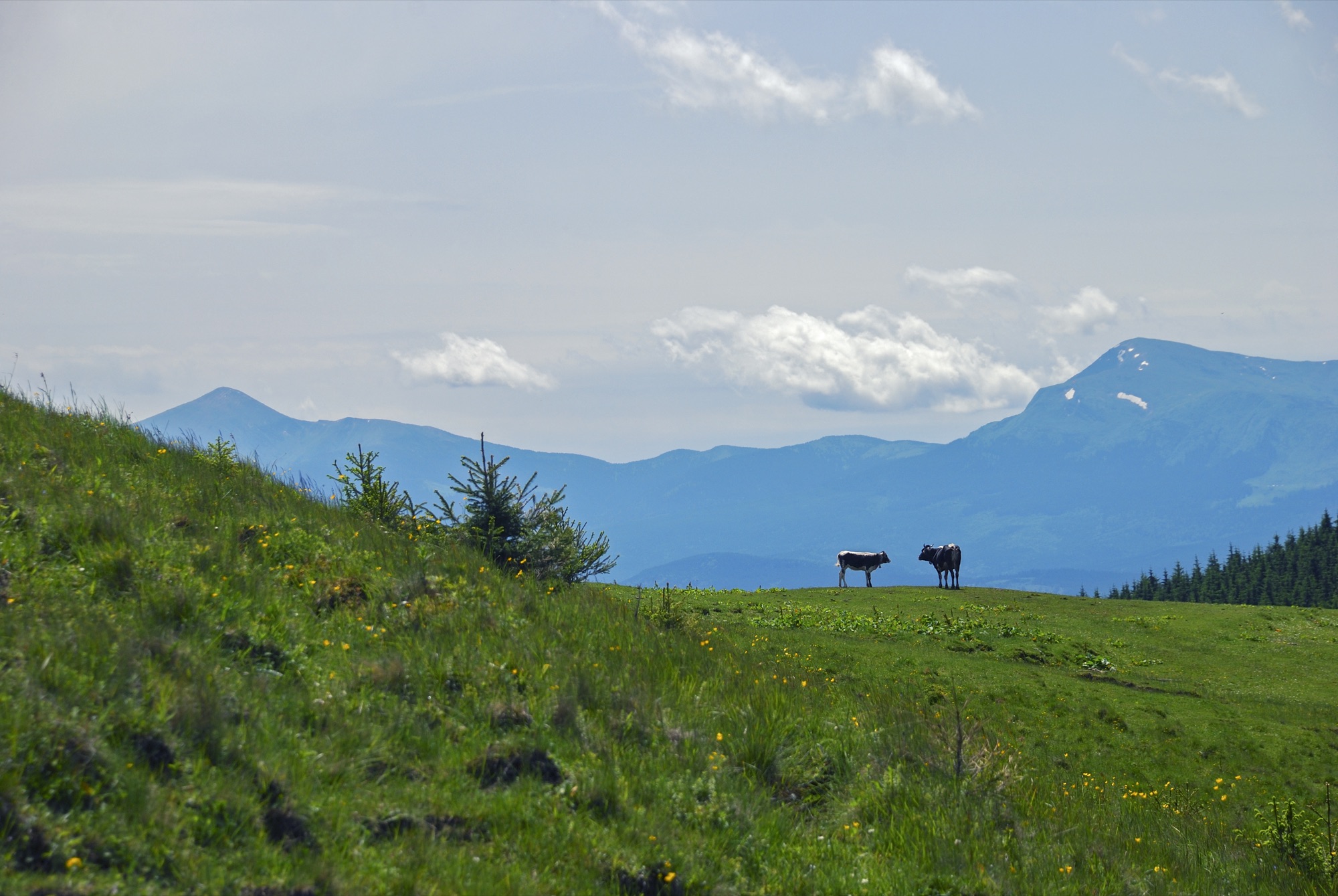
Zaroslyak — Petros · out and back
- Distance
- 22.4–23.4 km · out and back
- Elevation gain
- ↑ 1936–1938 m
- By trail
- Via the blue trail22.4 km · ↑ 1938 m
- Via the green trail23.4 km · ↑ 1936 m
- On the trail
- ≈ 15.5 h, estimate
- Highest point
- 2061 m
- Trailhead elevation
- ~1265 m · Zaroslyak
- Max steepness
- ≈59% over 200 m
- Difficulty
- Hard
ROUTE OVERVIEW
Ukraine's highest summit and neighbouring Petros — two peaks above 2000 m with a saddle of about 1500 m between them.
A route from the Zaroslyak base to two Chornohora summits: Hoverla (2061 m) and Petros (2020 m). The way back is the same, so Hoverla is climbed twice.
Two waymarked trails lead up to Hoverla. The blue one is faster but steeper. The green one is longer and gentler; it climbs onto the shoulder of Mala Hoverla. Mala Hoverla is on the list of places the State Border Guard Service closed to visitors without a permit, but the green trail only skirts it, so neither trail needs a permit.
From Hoverla to Petros runs the red trail, the Transcarpathian Tourist Trail. It drops to about 1500 m, passes the Vysokohiria Karpat («Highlands of the Carpathians») information and tourist centre and climbs again to Petros. OpenStreetMap and Wikipedia give red waymarks on this stretch; karpaty.rocks describes the trail as possibly only partly waymarked.
No source gives a time for this variant, so the page shows an estimate. It is a long day on the ridge, where the weather changes fast: start before dawn, carry a rain shell and a warm layer, and turn back in a thunderstorm or fog.
- Hoverla is 2061 m — the highest point of Ukraine
- Petros is 2020 m
- Two summits above 2000 m in a single outing
- Between the summits the trail drops to about 1500 m
Elevation profile
22.4 km · ↑ 1938 m
The blue trail up to Hoverla — faster but steeper, as the Carpathian National Nature Park describes it. From Hoverla, the red trail to Petros.
Route map
All routes on the mapSTAGE BY STAGE · Via the blue trail
- 0 kmZaroslyakStart at the training and sports base, by the «Start to Hoverla» sign~1265 m
- 0.6 kmTrail forkThe blue and green waymarked trails part here and meet again on Hoverla
- 3.2 kmHoverlaThe highest point of the route and of Ukraine. From here the red trail leads to Petros2061 m
- 5.9 kmVysokohiria KarpatInformation and tourist centre by the red trail, about 3 km from Hoverla
- 11.2 kmPetrosThe summit — 8.0 km from Hoverla on the red trail. Back the same way, over Hoverla again2020 m
BEFORE YOU GO
Zaroslyak and the northern slope of Hoverla lie in the Carpathian National Nature Park: a visitor fee is charged at the park entrance. On the way to Petros, by Vysokohiria Karpat, stands a Carpathian Biosphere Reserve checkpoint: OpenStreetMap marks it as paid, and the reserve charges an entry fee for waymarked routes and eco-trails. Neither Hoverla nor Petros is on the list of places the State Border Guard Service closed to visitors without a permit (order of the 31st Border Guard Detachment No. 1663-АГ of 23 May 2024, checked 1 November 2026); Mala Hoverla, whose shoulder the green trail crosses, is.
IF SOMETHING HAPPENS
- 101State Emergency Service — mountain emergency call
- 112Single emergency number: goes through any network in range, even without your carrier’s coverage
- Rescue in the MountainsThe rescue service’s app, install in advance — it sends your coordinatesApp StoreGoogle Play
- Zaroslyak postRescue post · at the start of the route
OTHER APPROACHES
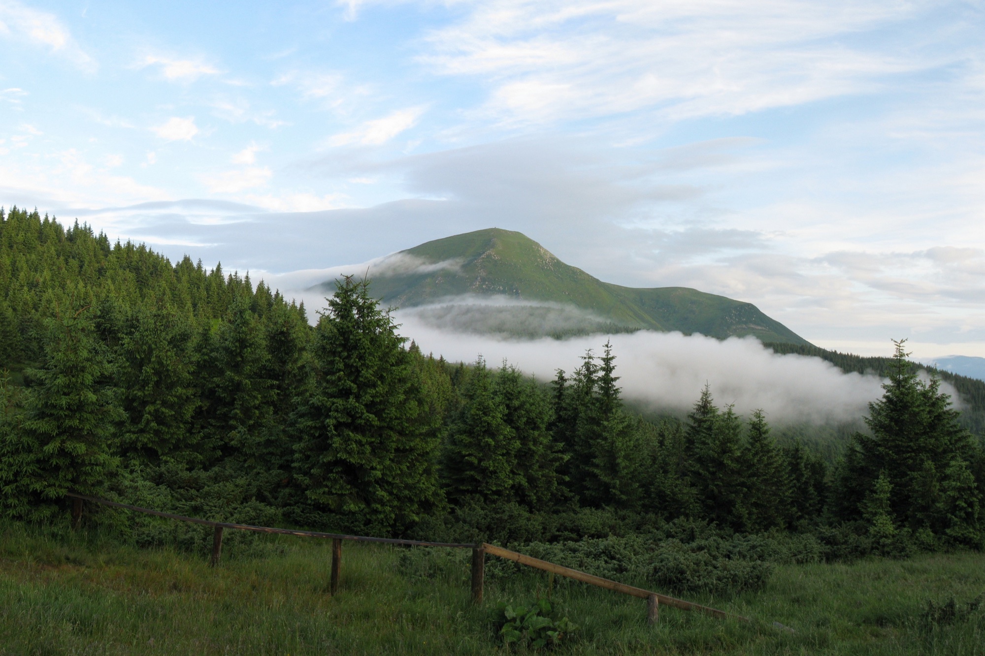 Hard, entry fee
Petros from Kvasy
An ascent of Petros (2020 m) from the village of Kvasy on the red trail over the Menchul and Shumneska meadows, out and back.
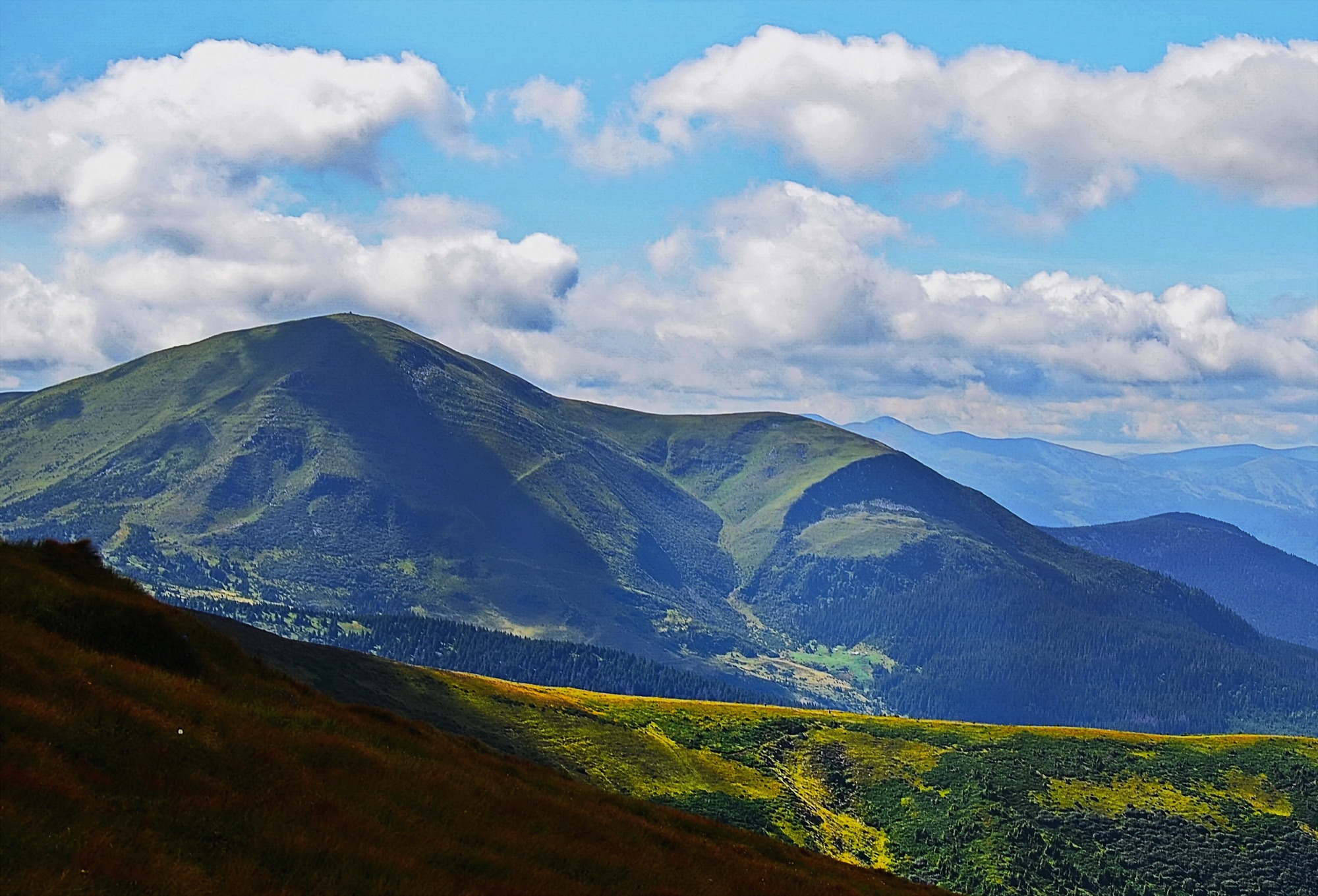 Hard, entry fee
Petros from Lazeshchyna
An ascent of Petros (2020 m) from the village of Lazeshchyna via the Kozmeshchyk clearing and the Holovcheska meadow, out and back.
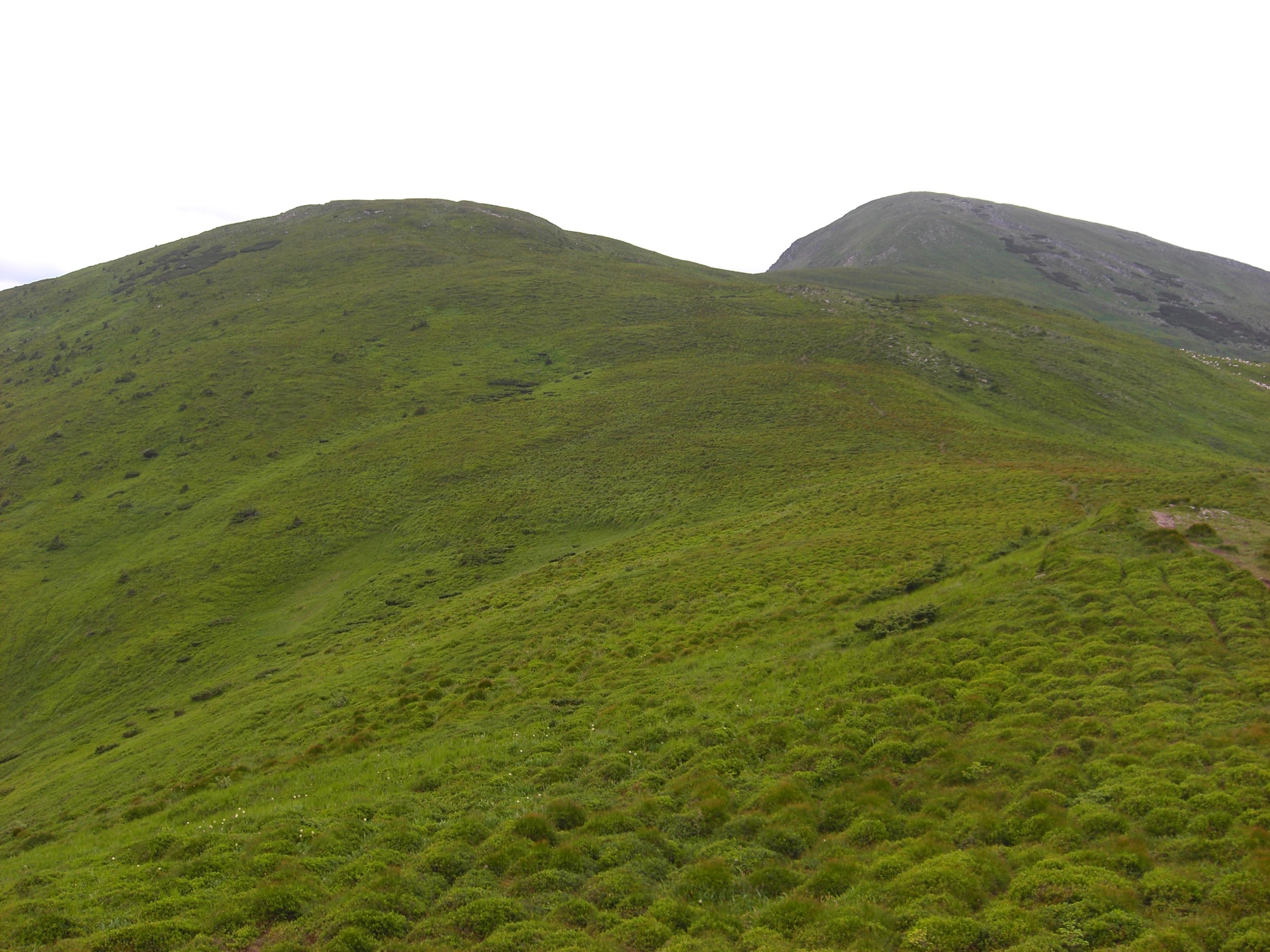 Hard
Petros from Yasinia
An ascent of Petros (2020 m) from the town of Yasinia on the blue trail over Mount Petrosul, out and back.