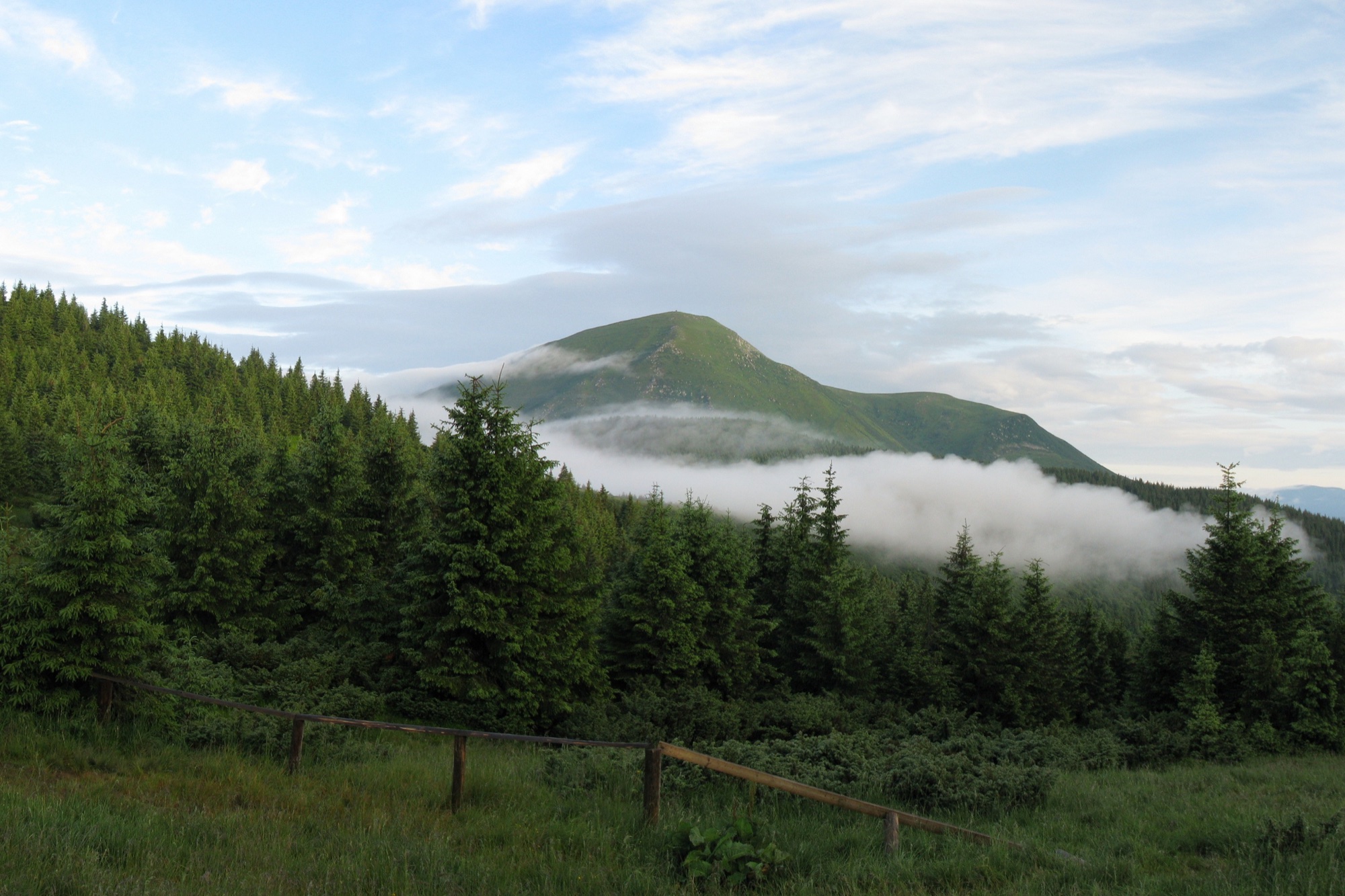
Kvasy — Petros · out and back
- Distance
- 33 km · out and back
- Elevation gain
- ↑ 1610 m
- On the trail
- 12 h
- Highest point
- 2020 m
- Trailhead elevation
- ~549 m · Kvasy
- Max steepness
- ≈24% over 200 m
- Difficulty
- Hard
ROUTE OVERVIEW
The Transcarpathian Tourist Trail climbs from the Chorna Tysa over the Menchul and Shumneska meadows.
An ascent of Petros (2020 m) from the village of Kvasy. A red trail leads the way — the Transcarpathian Tourist Trail. From the highway by the museum of old things it goes to the Carpathian Biosphere Reserve checkpoint, climbs through the forest to the Menchul meadow, and then over the Shumneska meadow reaches the summit. Back the same way.
The red waymarks are given by OpenStreetMap, Wikipedia, «Карпатські стежки» and Gorgany PRO, and reviews from 2024–2026 say the route is waymarked. According to karpaty.rocks, the waymarks may be missing or partial.
At the reserve checkpoint, 1.1 km from the highway, a visitor fee is paid. On the Menchul meadow the trail passes the Lviv University biological station. On the saddle of the Shumneska meadow, 4.5 km below the summit, the trail forks: the red goes up the ridge, and a traverse of the Petros slope with yellow waymarks branches off to the right. A small wooden shelter hut stands nearby.
According to Gorgany PRO, there is a spring on the Menchul meadow and streams on Shumneska; a 2024 review says springs were scarce and it is better to carry water.
The climb is mostly gentle: Karpatium calls the route long but comparatively easy. Reviews name the climb before the Shumneska meadow and the last climb to the summit as the hardest parts. Out and back it is 33 km and ~1610 m of climb: 4 km longer than Petros from Yasinia, with about the same climb.
According to Wikipedia, it is 6.5 hours up and 5.5 down. It is a long day: set off at first light. Mountain weather changes fast, so carry a rain shell and a warm layer, and turn back in a thunderstorm or fog.
In autumn daylight in Kvasy shrinks from 13.4 hours in early September to 8.7 at the end of November, and from late September it is shorter than the 12 hours of walking alone, before any breaks. So in autumn part of the way will most likely be walked in the dark: carry a headlamp.
- Petros is 2020 m
- From Kvasy a red trail — the Transcarpathian Tourist Trail — leads over the Menchul and Shumneska meadows
- 1.1 km from the highway is the Carpathian Biosphere Reserve checkpoint, where a visitor fee is paid
Elevation profile
33 km · ↑ 1610 m
Route map
All routes on the mapSTAGE BY STAGE
- 0 kmKvasyStart on the H-09 highway by the museum of old things and the «Dolyna» bus stop
- 1.1 kmReserve checkpointCarpathian Biosphere Reserve checkpoint — visitor fee
- 7.6 kmMenchul meadowThe trail passes the Lviv University biological station
- 12 kmShumneska meadowA fork on the saddle; the red goes up the ridge, a traverse of the Petros slope branches off to the right. A small wooden hut nearby
- 16.5 kmPetrosThe summit; back the same way2020 m
- 33 kmKvasyBack the same way
BEFORE YOU GO
Neither Petros nor the Menchul meadow is on the list of places the State Border Guard Service closed to visitors without a permit. Para. 1.11 of the 31st Border Guard Detachment's order No. 1663-АГ of 23 May 2024 lists «Пожижевська Мергул» — most likely two main-ridge peaks written without a comma, Pozhyzhevska and Menchul (the 1998 m summit above Dzembronya, not the Menchul meadow on this route) — but that item covers routes in Ivano-Frankivsk oblast, while Kvasy is in Zakarpattia. The border-strip restrictions of the 27th Border Guard Detachment's order of 18 June 2024, No. 110-ОД, do not cover the Yasinia community that Kvasy belongs to (checked 16 October 2026). According to a 2025 account, border guards at Kvasy station checked military registration documents and advised men without the detachment's permit not to take the route; a 2026 account says nobody checked anything. At the Carpathian Biosphere Reserve checkpoint, 1.1 km from the highway, a visitor fee is charged.
IF SOMETHING HAPPENS
- 101State Emergency Service — mountain emergency call
- 112Single emergency number: goes through any network in range, even without your carrier’s coverage
- Rescue in the MountainsThe rescue service’s app, install in advance — it sends your coordinatesApp StoreGoogle Play
- Zaroslyak postRescue post · ≈ 19.2 km in a straight line from the start
OTHER APPROACHES
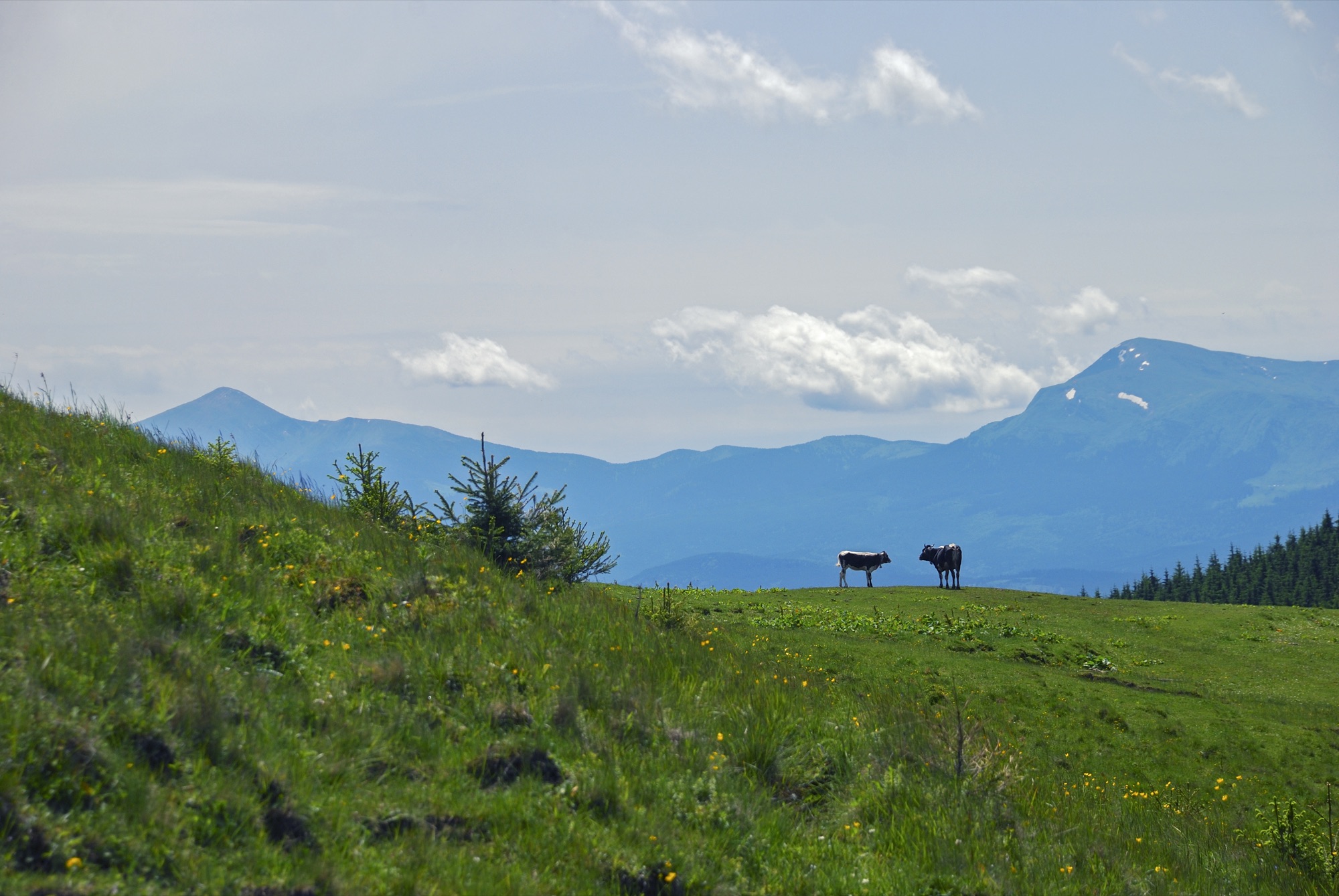 Hard, entry fee
Hoverla and Petros in a Day
Two Chornohora summits above 2000 m from the Zaroslyak base: Hoverla (2061 m) and Petros (2020 m), out and back over Hoverla.
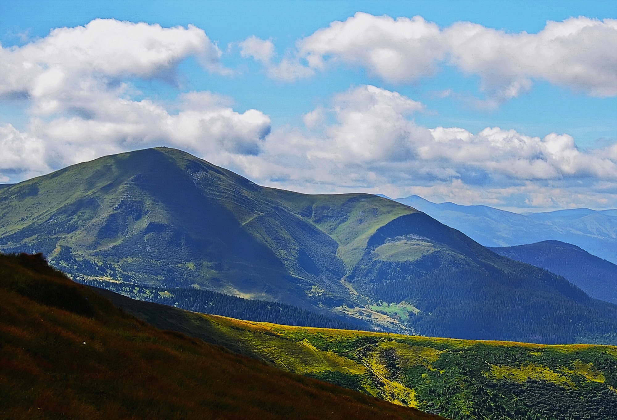 Hard, entry fee
Petros from Lazeshchyna
An ascent of Petros (2020 m) from the village of Lazeshchyna via the Kozmeshchyk clearing and the Holovcheska meadow, out and back.
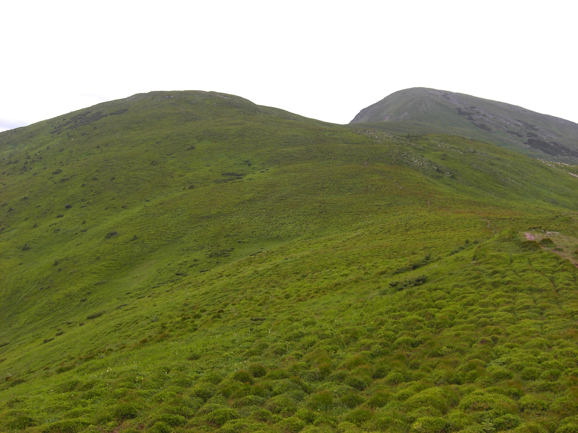 Hard
Petros from Yasinia
An ascent of Petros (2020 m) from the town of Yasinia on the blue trail over Mount Petrosul, out and back.