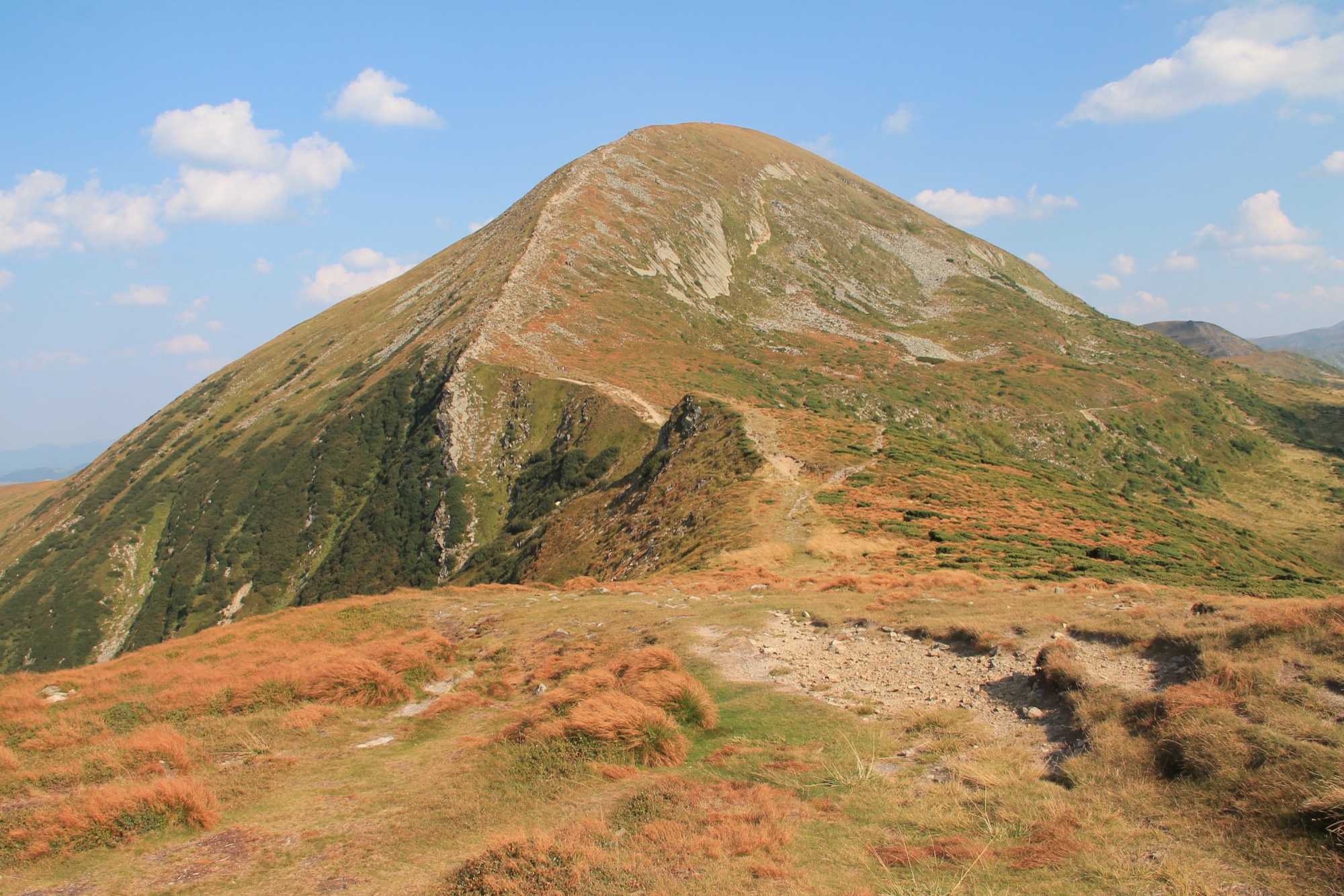
Photo: Olexdjpublic domainWikimedia Commons
About МЕЖА
МЕЖА is a free guide to the Chornohora ridge: routes with tracks, weather at summit height, access rules and seasons. Every route lists its sources and the date it was checked.
On the ridge today Live
Better not to go today
Snow on the ridge — crampons and winter experience needed · Heavy precipitation through the day
Routes checked
Conditions today01How to use it
Five steps of planning, and the site has a tool for each. Everything below is live: the same data as on its page.
Step 1
Filters by difficulty and duration, the access status on every card, the track on a map and as GPX.
Routes14 without a permit · 9 with a Border Guard permit
Step 3
A go / no-go verdict from thunderstorms, wind, frost, snow, precipitation, fog, daylight and the season, a 7-day forecast and route access.
Conditions todayStep 4
A gear list for your kind of trip, a water calculator and a print version. Your ticks stay in your browser only.
ChecklistStep 5
The track and the numbers go on your phone before you set out, not on the trail.
Mountain safety02The ridge
Chornohora is about 40 km of main ridge between the Prut and Tysa valleys. The trail from Hoverla to Pip Ivan keeps to the crest; it is usually split into two days.
Track — OpenStreetMap (ODbL), trail heights — SRTM 30 m; summits and lakes — OSM and Wikidata, marked where the trail passes within 350 m; the ridge — Wikipedia (uk), «Чорногора».
03Checking
The header of a real route, and where each line in it comes from: each number on the card matches an item in the list.
Photo: Olexdjpublic domainWikimedia Commons
Route photos come from Wikimedia Commons; each shows its author, licence and a link to the original.
Whether a Border Guard permit is needed — with the order's number and date; and, separately, whether entry is paid.
A summit's height comes from an OpenStreetMap and Wikidata point marked as checked.
Time comes from a source; where there is none, a DIN 33466 estimate from length and climb.
Every route lists the sources of its facts: OSM tracks, orders, trail descriptions.
Every route carries the date its facts were last checked against their sources.