Zaroslyak — Hoverla · out and back
- Distance
- 6.4–7.4 km · out and back
- Elevation gain
- ↑ 796 m
- By trail
- Blue trail6.4 km · ↑ 796 m
- Green trail7.4 km · ↑ 796 m
- On the trail
- up to 8 h
- Highest point
- 2061 m
- Trailhead elevation
- ~1265 m · Zaroslyak
- Max steepness
- ≈56% over 200 m
- Difficulty
- Medium
ROUTE OVERVIEW
Both waymarked trails from Zaroslyak end on an open, rocky slope with no shade or shelter.
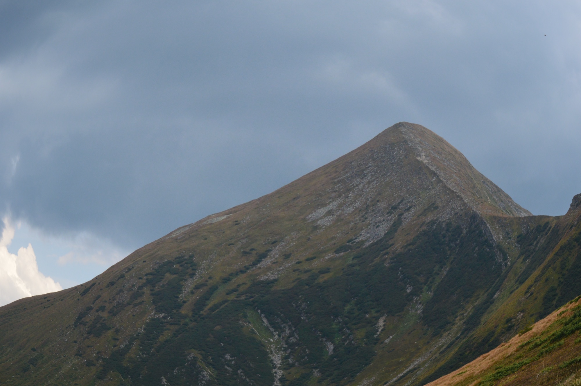
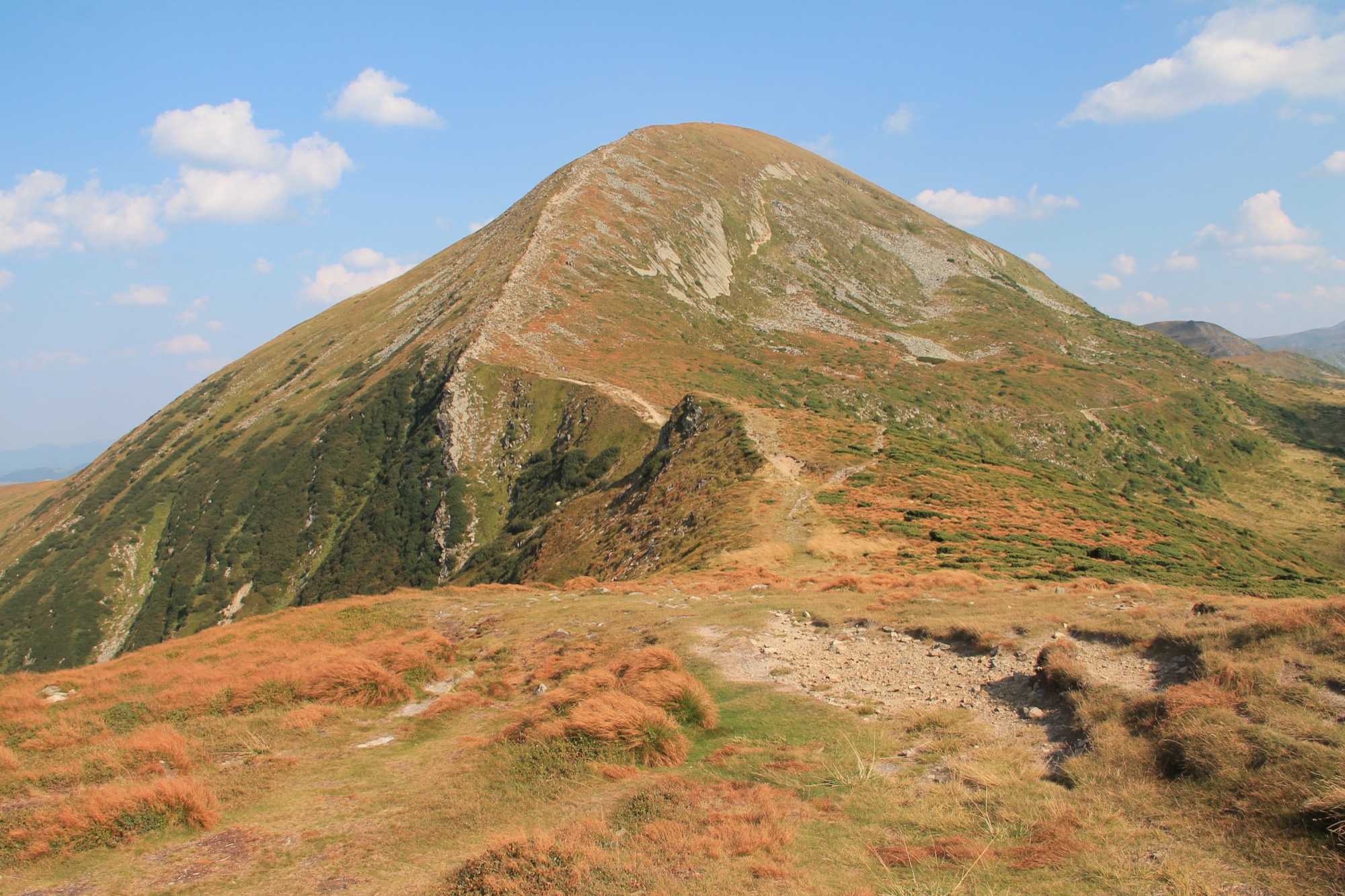
The most popular way up Hoverla (2061 m), the highest point of Ukraine. It starts at the Zaroslyak base, which you can reach by car.
Two waymarked trails lead from the base to the summit. The blue one is faster but steeper. The green one is longer and gentler; it climbs onto the shoulder of Mala Hoverla. Mala Hoverla is on the list of places the State Border Guard Service has closed to visitors without a permit, but the green trail only skirts it, so neither trail needs a permit; you pay only the park entrance fee.
Summit weather turns quickly: set off in the morning, carry a rain shell and a warm layer, and turn back in a thunderstorm or fog.
- Hoverla is 2061 m — the highest point of Ukraine
- The highest of the six Chornohora summits above 2000 m
- The summit sits on the border of the Ivano-Frankivsk and Zakarpattia regions
- The Prut river rises on Hoverla's northern slope
- Two waymarked trails, blue and green, lead from the Zaroslyak base to the summit
Elevation profile
6.4 km · ↑ 796 m
Faster but steeper — as the Carpathian National Nature Park describes it.
Route map
All routes on the mapSTAGE BY STAGE · Blue trail
- 0 kmZaroslyakStart at the training and sports base, by the «Start to Hoverla» sign~1265 m
- 0.6 kmTrail forkThe blue and green waymarked trails part here
- HoverlaThe summit and highest point of Ukraine, where both trails meet2061 m
IN WINTER
Winter conditions hold here from late autumn to May, and on the northern slopes the snow lies into June. In spring 2019 there was up to 5 m of snow on the summit.
- In winter the State Emergency Service rescuers advise going up and down by the blue trail only and call the green one dangerous. In February 2026 they marked the upper part of the blue trail with winter waymarks, from Hoverliana to the summit. Older advice on tourist sites recommends the green.
- Avalanches also come down on the side of Hoverla where the trails from Zaroslyak lie. On 9 January 2018 a wet avalanche of 1,200 m³ came off Hoverla's eastern slope. Rescuers also recorded avalanches on Hoverla in February 2024.
- The hardest section lies above the stone cairn by the «Hoverliana» signpost, at 1700–1800 m. Hard-packed snow and ice hold there, so a fall is likeliest on the way down. In January 2022 a hiker fell on the iced slope and died.
- Microspikes and running crampons do not grip on this slope; full mountaineering crampons are needed. On the blue trail an ice axe is advised as well.
- In winter the section above Hoverliana is most often dangerous because of snow, fog and strong wind. Rescuers call leaving the winter waymarks extremely risky.
- In spring the Carpathian National Nature Park kept Hoverla closed while the avalanche danger held. In 2019 the route was to open no earlier than 1 May, and in early May 2021 it was still closed.
BEFORE YOU GO
Zaroslyak and the northern slope of Hoverla lie in the Carpathian National Nature Park: a visitor fee is charged at the park entrance.
IF SOMETHING HAPPENS
- 101State Emergency Service — mountain emergency call
- 112Single emergency number: goes through any network in range, even without your carrier’s coverage
- Rescue in the MountainsThe rescue service’s app, install in advance — it sends your coordinatesApp StoreGoogle Play
- Zaroslyak postRescue post · at the start of the route