Lazeshchyna — Hoverla · out and back
- Distance
- 34–34.8 km · out and back
- Elevation gain
- ↑ 1521–1527 m
- By trail
- Over the Hropa meadow34 km · ↑ 1521 m
- Over the Kozmeska meadow34.8 km · ↑ 1527 m
- On the trail
- 12–13 h
- Highest point
- 2061 m
- Trailhead elevation
- ~713 m · Lazeshchyna
- Max steepness
- ≈49% over 200 m
- Difficulty
- Hard
ROUTE OVERVIEW
The Transcarpathian side of Hoverla: the trails from Lazeshchyna cross the Carpathian Biosphere Reserve, not the national park, as from Zaroslyak.
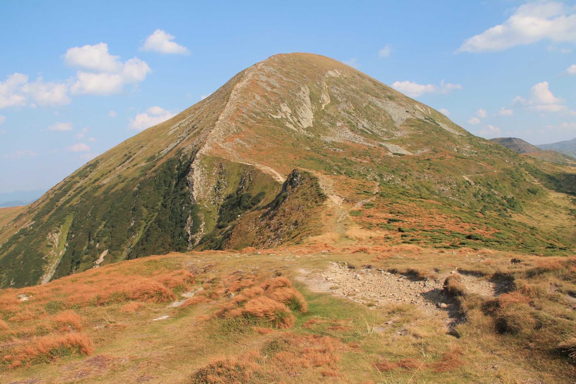
Hoverla (2061 m) from Lazeshchyna is the approach from the Transcarpathian side, via the Kozmeshchyk clearing. From Zaroslyak the trails to the summit belong to the Carpathian National Nature Park; from here, to the Carpathian Biosphere Reserve.
The first 9.7 km is the road up the Lazeshchyna stream valley, the same that leads to Petros. 4.4 km from the village is the reserve checkpoint, where visitors register and pay. According to Wikipedia, the road is waymarked green; in OpenStreetMap, yellow and blue. Most reviews say Kozmeshchyk can be reached by car, though the road is poor; Gorgany PRO says only by taxi.
At Kozmeshchyk two waymarked trails part. The yellow goes over the Hropa meadow and meets the red ridge trail 0.7 km below the summit. The other runs green, then yellow to the Kozmeska meadow, where it meets the green trail from Zaroslyak. That one passes the top of Mala Hoverla 80 m off; Mala Hoverla is on the list of places the State Border Guard Service closed to hikers without a permit, but the trail only passes it, so no permit is needed. Old Czechoslovak–Polish border posts stand along it.
Below the summit, at 1800 m, stands a reserve hut without a stove. There are springs at Kozmeshchyk and by the herders' hut on the Hropa meadow; higher up they are weak and can run dry.
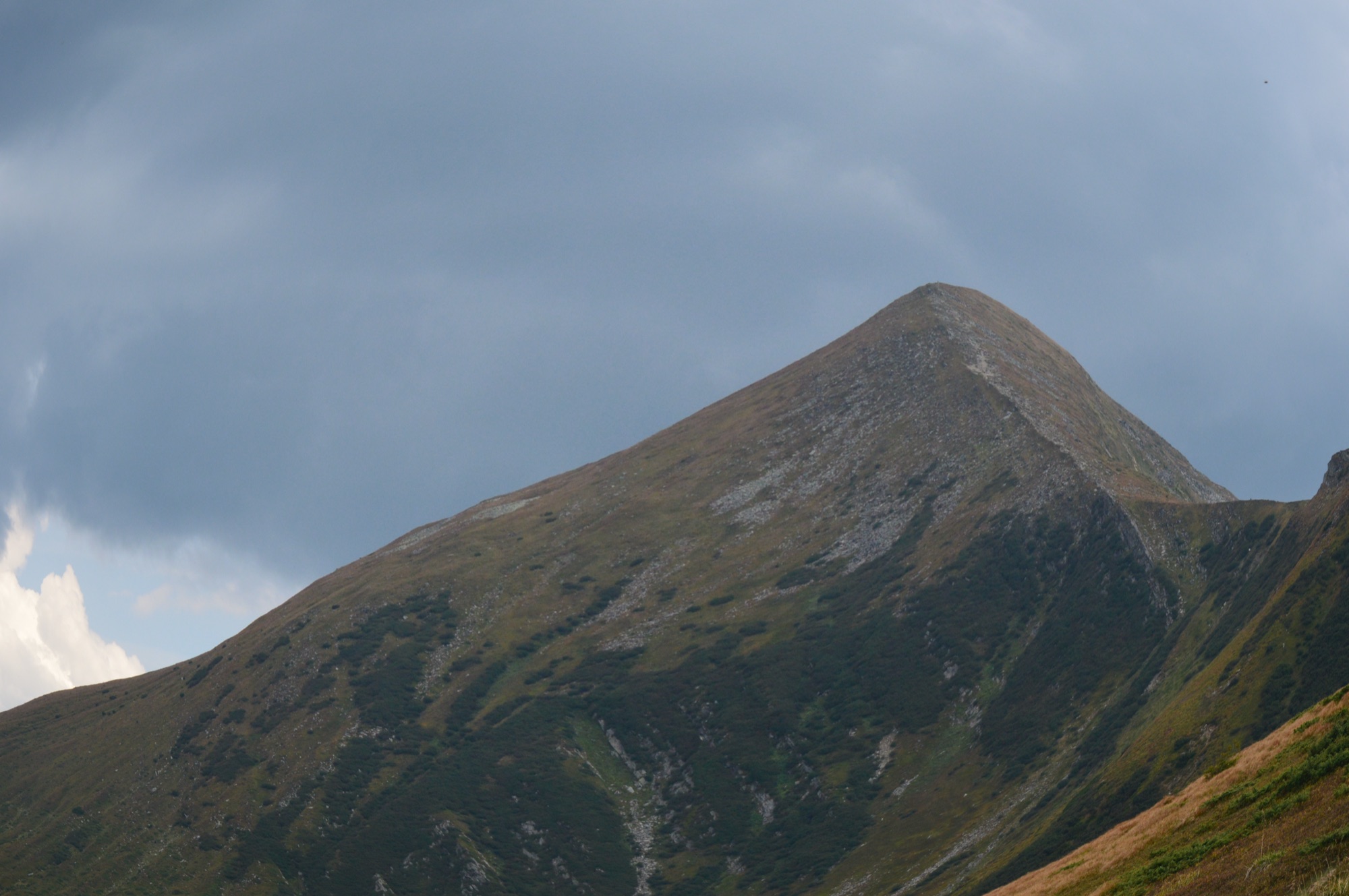
Rescuers of the State Emergency Service describe the last 800–900 m to the summit as «practically scrambling up over stones and boulders». Most «medium» and «easy» grades are given from Kozmeshchyk; from the village the way is 19.4 km longer, 34–35 km there and back.
Wikipedia (uk) gives «6,45 год» up and «5,45 год» down over Hropa (it does not say whether that means 6 h 45 min), 7 and 6 h over Kozmeska. From mid-September daylight in Lazeshchyna is shorter than 13 hours, and from the end of September shorter than 12. In autumn part of the way will most likely be in the dark: carry a headlamp. Weather on the summit changes fast: carry a rain jacket and a warm layer, and turn back in a thunderstorm or fog.
- Hoverla — 2061 m, the highest point of Ukraine
- The first 9.7 km is the valley road from Lazeshchyna to the Kozmeshchyk clearing, the same that leads to Petros
- From Kozmeshchyk two waymarked trails lead to the summit — over the Hropa meadow and over the Kozmeska meadow
Elevation profile
34 km · ↑ 1521 m
The yellow trail of «Карпатські стежки» from Kozmeshchyk over the Hropa meadow. 0.7 km below the summit it meets the red, the Transcarpathian Tourist Trail; it does not pass Mala Hoverla.
Route map
All routes on the mapSTAGE BY STAGE · Over the Hropa meadow
- 0 kmLazeshchynaStart in the village, 0.5 km from the centre; the first 9.7 km is the road up the Lazeshchyna stream valley
- 4.4 kmReserve checkpointCheckpoint of the Petros-Hoverla division of the Carpathian Biosphere Reserve — registration and the visitor fee
- 9.7 kmKozmeshchykCrossroads of the roads to Petros and Hoverla; a reserve information point, a spring and a wooden house used as a shelter. The two trails part here
- 13.3 kmHropa meadowThe meadow nearest Hoverla; sheep graze here in summer, a spring by the herders' hut
- 16.4 kmRed trailThe yellow meets the red, the Transcarpathian Tourist Trail; 0.7 km up a rocky slope to the summit
- 17 kmHoverlaThe summit, the highest point of Ukraine. Back the same way2061 m
BEFORE YOU GO
Hoverla is not on the list of places the State Border Guard Service closed to hikers without a permit (order of the 31st Border Guard Detachment No. 1663-АГ of 23 May 2024, checked 15 October 2026). Mala Hoverla is on it, but the trail over the Kozmeska meadow only passes it, so no permit is needed. At the Carpathian Biosphere Reserve checkpoint, 4.4 km from the village, a visitor fee is charged.
IF SOMETHING HAPPENS
- 101State Emergency Service — mountain emergency call
- 112Single emergency number: goes through any network in range, even without your carrier’s coverage
- Rescue in the MountainsThe rescue service’s app, install in advance — it sends your coordinatesApp StoreGoogle Play
- Zaroslyak postRescue post · ≈ 15.1 km in a straight line from the start