Routes
Where to go in Chornohora
Proven routes — from a day walk to the full ridge traverse. Difficulty, time, elevation gain and map points for each.
 Easy
Goal · ~1438 m
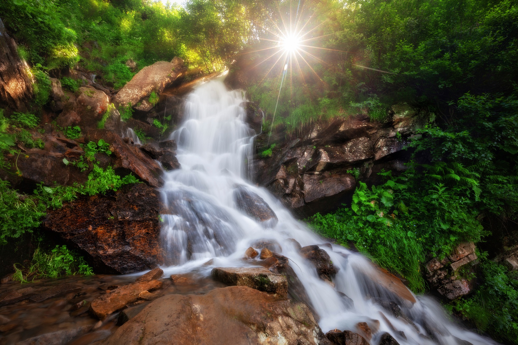
Dzembronya Waterfalls
From Upper Dzembronya along the blue trail over the Smotrych meadow to the Dzembronya waterfalls on the Munchel stream, out and back, without going up onto the ridge.
 Easy
Goal · 1539 m
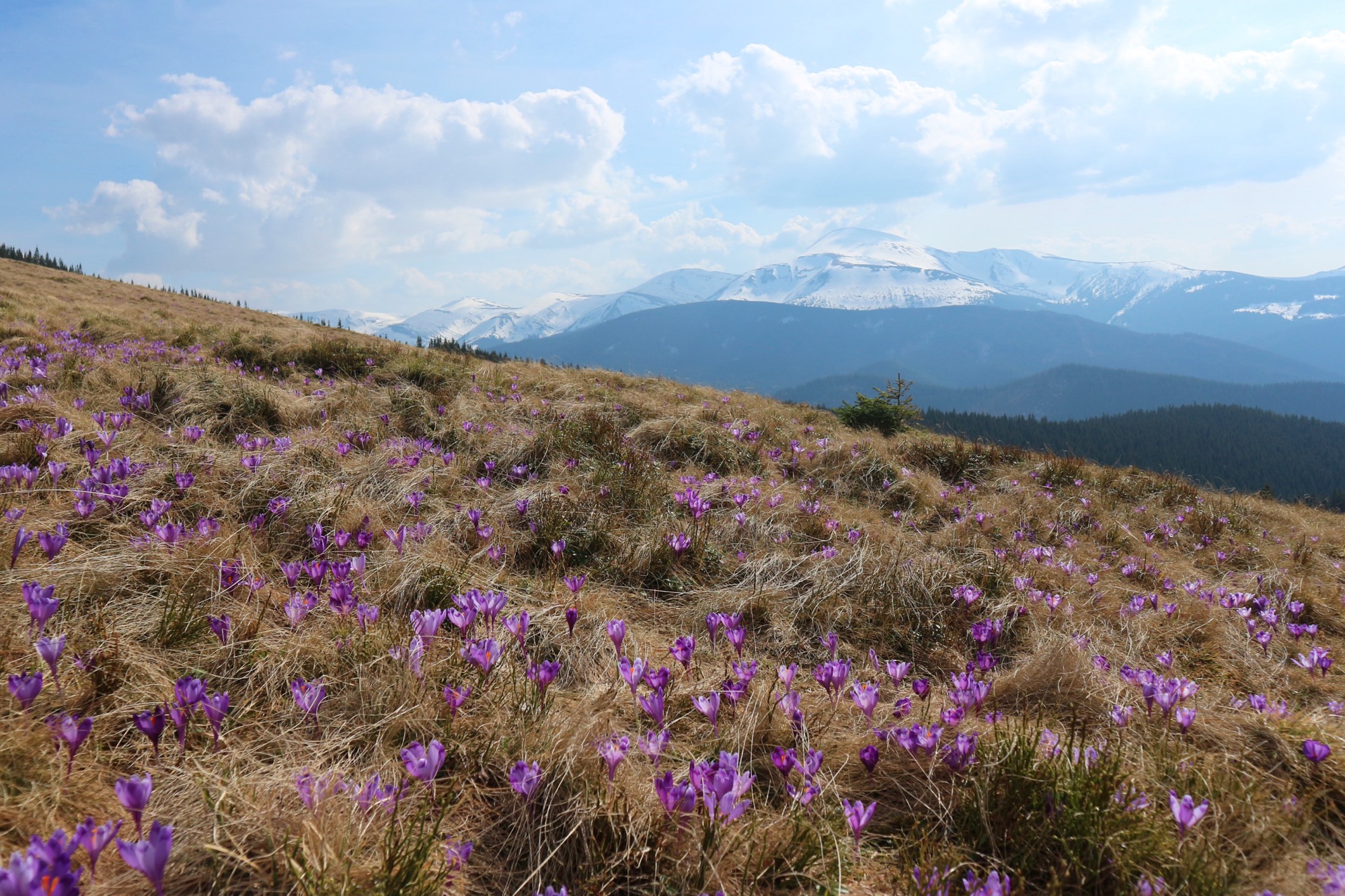
Kukul from Zavoiela
An ascent of Kukul (1539 m) from the Carpathian National Nature Park checkpoint in Zavoiela on the blue trail over the Zakukul meadow, out and back.
 Easy, entry fee
Goal · 1750 m
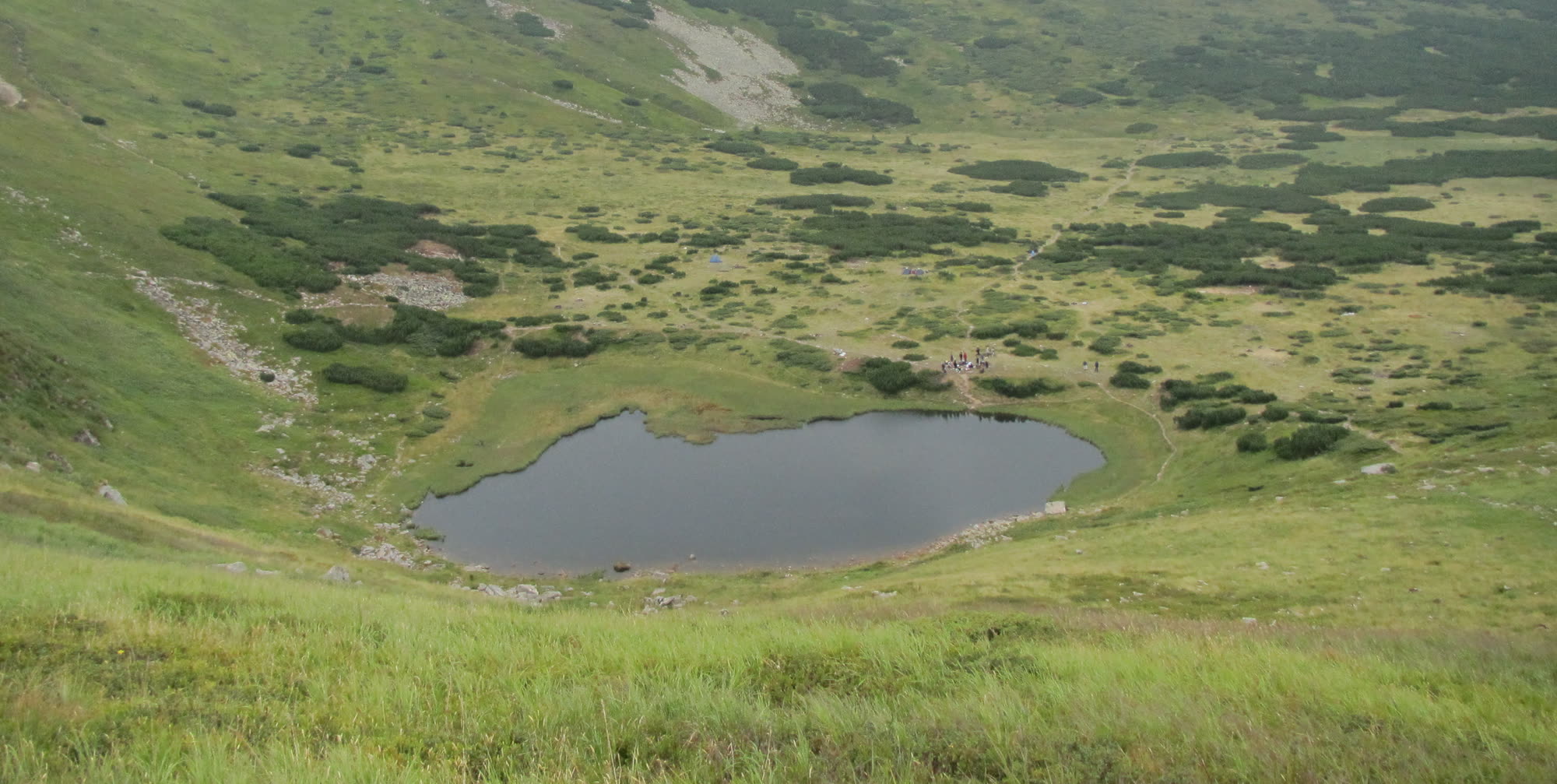
Lake Nesamovyte
A glacial lake at 1750 m below Turkul — on the yellow trail from the Zaroslyak base, out and back.
Conditions now · autumn
Should you go today?
Better not to go today
Snow on the ridge — crampons and winter experience needed · Heavy precipitation through the day
Weather for the week →

September – November
Photo: Mykola SwarnykCC BY 4.0Wikimedia Commons
Season · Autumn
Gold and quiet
Less rain than in summer, and porcini in the woods. The light is shrinking: start a long route at dawn.
- Porcini season
- Less rain than in summer
Gear
What to take up the ridge
Tick off the essentials — the full interactive checklist picks the rest for your kind of day and works out the water.
Full checklist →Questions & answers
What would you like to know?
Start typing — the answer appears right away.
Pick a topic above or ask your own question.