Upper Dzembronya — Dzembronya waterfalls · out and back
- Distance
- 9.4 km · out and back
- Elevation gain
- ↑ 657 m
- On the trail
- ≈ 6 h, estimate
- Trailhead elevation
- ~813 m · Upper Dzembronya
- Max steepness
- ≈24% over 200 m
- Difficulty
- Easy
ROUTE OVERVIEW
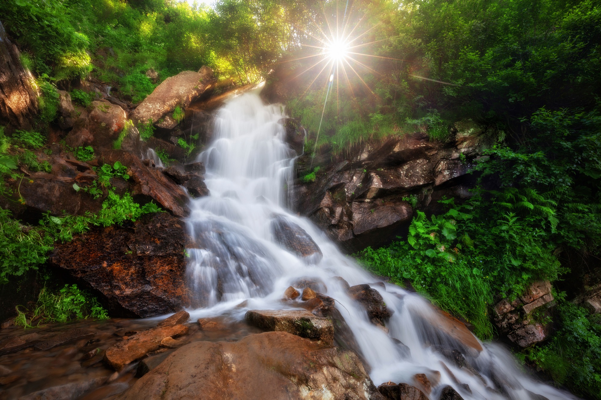
About twenty cascades on the Munchel stream, the highest 10 m, below the open ridge.
A hike from Upper Dzembronya to the Dzembronya waterfalls, about 20 cascades on the Munchel stream, the highest of them 10 m. The first kilometres are a dirt road up to the Smotrych meadow. Past the cheese dairy the blue waymarked trail splits: one branch climbs Mount Smotrych, the other bears right and leads through the forest to the waterfalls. Back the same way.
The blue waymarks are given by OpenStreetMap, Marian Slabinoha's description (2023) and Karpatium.
According to people who have walked it, the steepest part is the open road from the village to the meadow, with no shade: hard going in the heat. After that the path climbs more gently through the forest. The rocks by the upper cascades are slippery.
Guides give about 2 hours from the village to the waterfalls. No source gives an out-and-back time, so the page shows an estimate.
The route does not go up onto the open ridge. Above the waterfalls the blue trail goes on to Vukhatyi Kamin, which, like Smotrych, lies in the border zone, where nobody is let in without a border-guard permit.
- About 20 cascades on the Munchel stream, the highest 10 m
- A blue waymarked trail from Upper Dzembronya
- The route does not go up onto the open ridge
Elevation profile
9.4 km · ↑ 657 m
Route map
All routes on the mapSTAGE BY STAGE
- 0 kmUpper DzembronyaStart by the bus stop, a dirt road uphill
- 1.8 kmSmotrych meadowOut onto the meadow; at 2.4 km the road turns into a path
- 2.8 kmTrail forkPast the Molochna Khata cheese dairy the blue trail splits into two branches; the right one, towards Vukhatyi Kamin, leads to the waterfalls
- 4.7 kmDzembronya waterfallsAbout 20 cascades on the Munchel stream, the highest 10 m. Back the same way
- 9.4 kmUpper DzembronyaBack the same way
BEFORE YOU GO
The waterfalls, the Smotrych meadow and Dzembronya are not on the list of places the State Border Guard Service closed to visitors without a permit (order of the 31st Border Guard Detachment No. 1663-АГ of 23 May 2024, checked 13 October 2026). The peaks above the waterfalls, Smotrych and Vukhatyi Kamin, are on it: above the waterfalls the blue trail goes on to Vukhatyi Kamin, and going there needs the detachment's permit. According to 2025 accounts, the checkpoint before Dzembronya checks an application addressed to the head of the 31st detachment and ID documents, and for men aged 18–60 a military registration document; some hikers have been turned back; in June 2026, as nfront.org.ua retold it, a checkpoint before Chornohora turned back even a group with a permit, because the application could not be found in the database. After filing, make sure the application has reached the checkpoint. The Carpathian National Nature Park's price list has no fee for this trail. How to apply for the permit
IF SOMETHING HAPPENS
- 101State Emergency Service — mountain emergency call
- 112Single emergency number: goes through any network in range, even without your carrier’s coverage
- Rescue in the MountainsThe rescue service’s app, install in advance — it sends your coordinatesApp StoreGoogle Play
- "White Elephant" observatory (Pip Ivan)Rescue post · ≈ 7.3 km in a straight line from the start