Zavoiela — Kukul · out and back
- Distance
- 9.5 km · out and back
- Elevation gain
- ↑ 655 m
- On the trail
- ≈ 6 h, estimate
- Highest point
- 1539 m
- Trailhead elevation
- ~898 m · Zavoiela
- Max steepness
- ≈33% over 200 m
- Difficulty
- Easy
ROUTE OVERVIEW
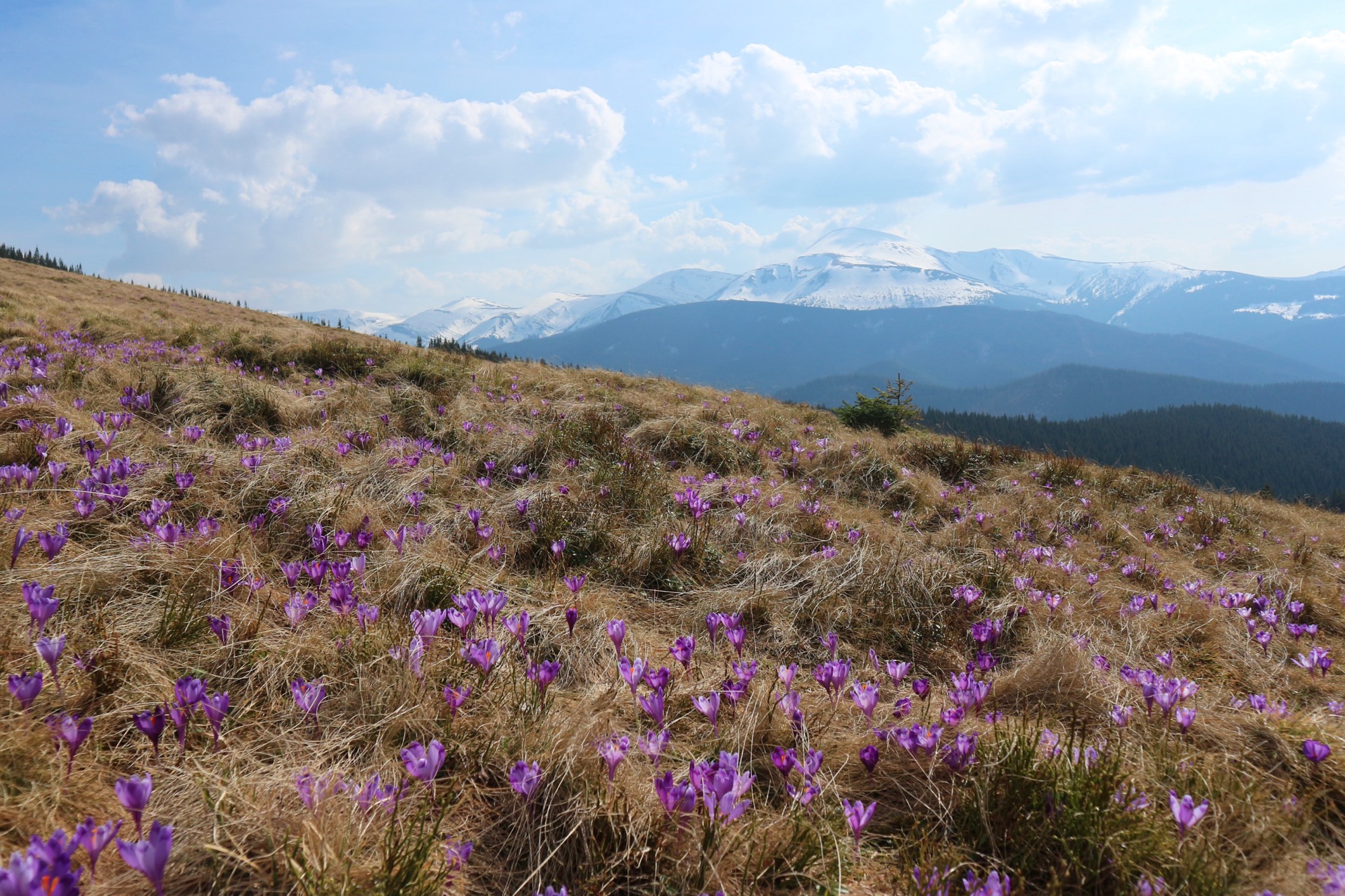
The shortest way up Kukul: steeply through the forest to the Zakukul meadow, which looks out on Chornohora.
An ascent of Kukul (1539 m), a summit north of the Chornohora massif, from Zavoiela, a hamlet of Vorokhta on the road to Zaroslyak. The start is by a Carpathian National Nature Park checkpoint. The blue trail leads 0.8 km along the road, then right across a stream, through the forest up to the Zakukul meadow, and over the meadow and through forest to the top. Back the same way. Beyond the summit the blue leads on to Vorokhta.
OpenStreetMap, Wikipedia (pl), karpaty.rocks and Marian Slabinoha give the blue waymarks. In 2021 the route was clear, with no fallen trees. The turn off the road is easy to miss: karpaty.rocks advises checking it against a map, and in the forest the path becomes clear.
Right after the stream comes 2 km of steep climbing on an old road through the forest — ~440 m of climbing on the track. Then the path eases and comes out on the Zakukul meadow at its lower end. 500 m on, in the middle of the meadow, stands a cross, which looks out on Svydovets, Petros, Hoverla and the Chornohora ridge as far as Pip Ivan. Here the park's eco-trail «Урочище Завоєла – полонина Закукул» ends; it follows the same line. In spring Heuffel's crocus, a Red Book species, blooms on the meadow.
From the cross ~0.6 km remains to the summit, up the meadow and through forest; Slabinoha puts it at 15–25 minutes. The top of Kukul is wooded, with a triangulation post, and beside the summit is a cemetery of German soldiers of the First World War. Trenches from that war run along the whole ridge. karpaty.rocks warns against lighting fires by them: old shells have exploded from campfires.
There is no water on the climb. According to OpenStreetMap, the nearest springs are ~250 m off the trail by the Zakukul meadow, so bring water with you.
Out and back is 9.5 km. The site shows an estimate for this track; karpaty.rocks puts the climb at ~2.5 hours of walking without stops. Slabinoha writes that the crowds here are dozens of times smaller than on the neighbouring Hoverla route. Mountain weather changes fast, so carry a rain jacket and a warm layer, and turn back in a thunderstorm or fog.
- Kukul is 1539 m, a summit north of the Chornohora massif
- From the checkpoint on the Zaroslyak road it is 4.8 km one way, 2 km of it a steep climb through the forest
- The top is wooded; the open views are from the Zakukul meadow
Elevation profile
9.5 km · ↑ 655 m
Route map
All routes on the mapSTAGE BY STAGE
- 0 kmZavoielaStart by the Carpathian National Nature Park checkpoint on the Vorokhta — Zaroslyak road; the first 0.8 km is on a dirt road
- 0.8 kmTurn off the roadThe «М. Кукул» signpost points right; ~90 m on, the path fords a stream and enters the forest. The turn is easy to miss
- 3.6 kmZakukul meadowAfter 2 km of steep climbing and a gentler stretch of forest the path comes out on the meadow; at 4.1 km a cross, which looks out on Chornohora
- 4.8 kmKukulThe top is wooded, with a triangulation post. The blue runs on to Vorokhta; back the same way1539 m
- 9.5 kmZavoielaBack the same way
BEFORE YOU GO
Kukul and Zavoiela are not on the list of places the State Border Guard Service closed to visitors without a permit (order of the 31st Border Guard Detachment No. 1663-АГ of 23 May 2024, checked 26 October 2026). The start is a Carpathian National Nature Park checkpoint: the park sells a ticket for its eco-trail «Урочище Завоєла – полонина Закукул» on the same line, UAH 100, UAH 50 for children (checked 16 October 2026). The park does not say whether those going only to Kukul pay; in 2021 they passed the checkpoint free of charge.
IF SOMETHING HAPPENS
- 101State Emergency Service — mountain emergency call
- 112Single emergency number: goes through any network in range, even without your carrier’s coverage
- Rescue in the MountainsThe rescue service’s app, install in advance — it sends your coordinatesApp StoreGoogle Play
- Zaroslyak postRescue post · ≈ 6.3 km in a straight line from the start
OTHER APPROACHES
 Medium
Kukul from Lazeshchyna
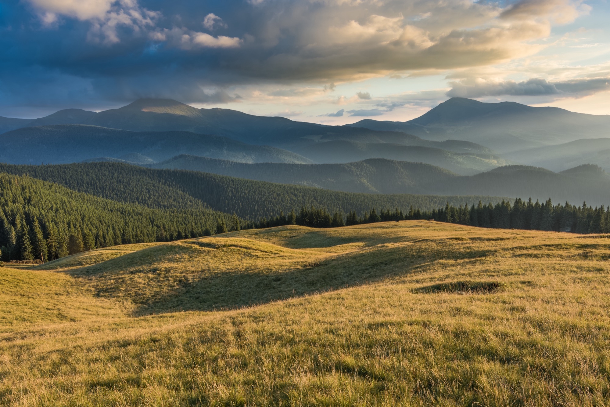
The green loop from Lazeshchyna to Kukul (1539 m): up the valley and the Beskydia stream to the Kukul meadow, back along the ridge over the Ozirna, Serednia and Hryhorivka meadows.
 Medium
Kukul from Vorokhta
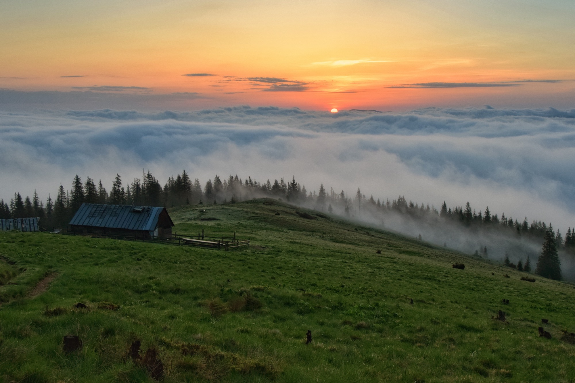
An ascent of Kukul (1539 m) from Vorokhta on the blue trail past Oseredok, over the Pereslip pass and the Labieska meadow, out and back.