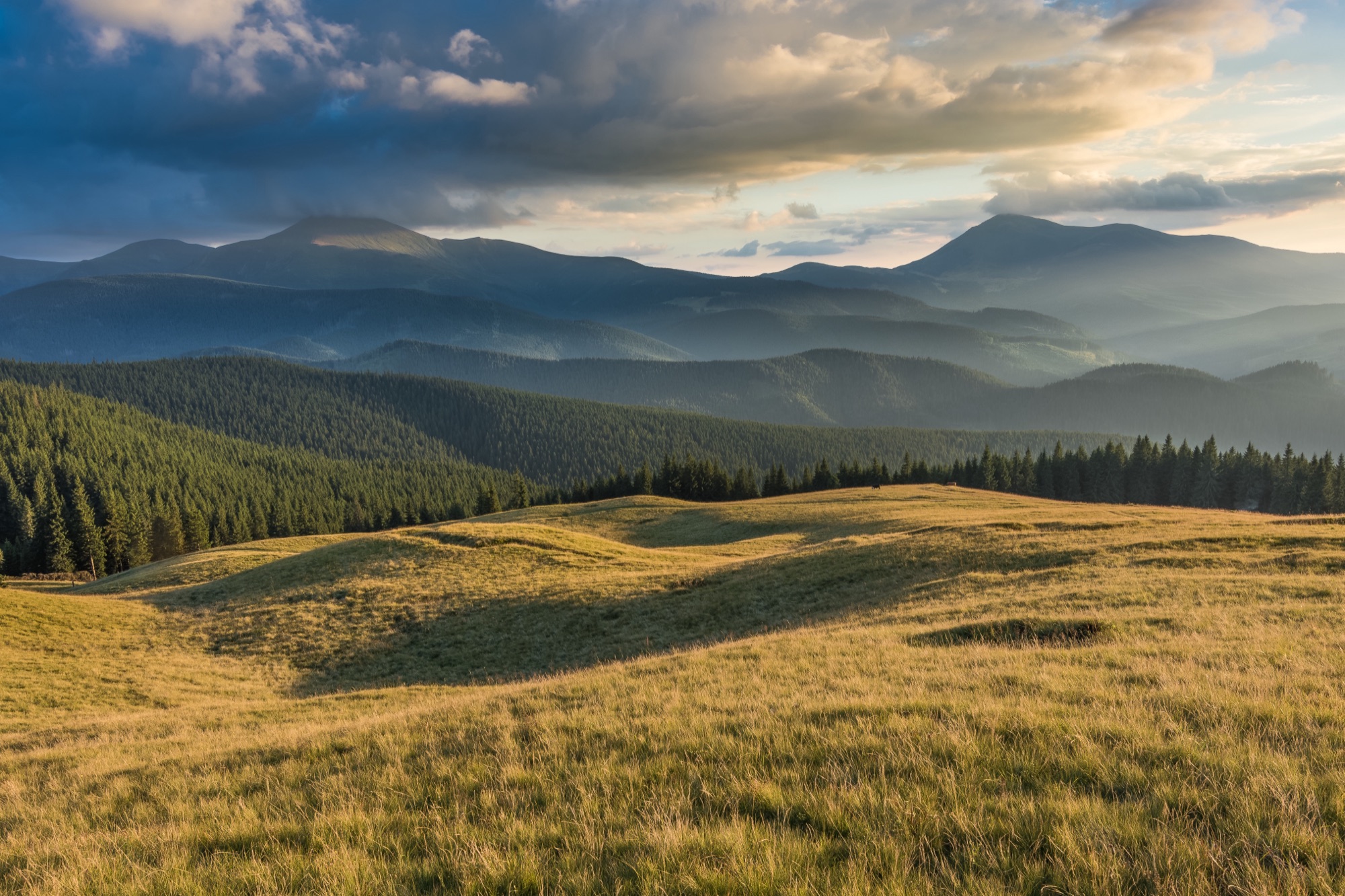
Lazeshchyna — Kukul · loop
- Distance
- 30.5 km · loop
- Elevation gain
- ↑ 1122 m
- On the trail
- ≈ 12.5 h, estimate
- Highest point
- 1539 m
- Trailhead elevation
- ~713 m · Lazeshchyna
- Max steepness
- ≈29% over 200 m
- Difficulty
- Medium
ROUTE OVERVIEW
A summit north of Chornohora, on a ridge that carried the Galicia–Hungary border until 1918 and the Polish–Czechoslovak border between the wars.
Kukul (1539 m) is a summit north of the Chornohora massif, between Vorokhta and Lazeshchyna. From Lazeshchyna a green loop of «Карпатські стежки» leads to it: up the Lazeshchyna stream valley and the Beskydia stream to the Kukul meadow, back along the ridge over the Ozirna, Serednia and Hryhorivka meadows and past Verkh-Debry. According to «Карпатські стежки», the loop is 28 km; with the summit the track is 30.5 km.
The first 7.8 km is the valley road, the same that leads on to Kozmeshchyk. According to Wikipedia, it is waymarked green; in OpenStreetMap the green line leaves this stretch out.
The green passes ~0.5 km from the summit as the crow flies. From the Kukul meadow it is 0.8 km to the top on an unmarked path, the last ~250 m on the blue trail from Vorokhta. Back to the meadow the same way. The top is grown over with spruce; from the highest point only the mountains to the north show between the trees. The open views are from the ridge meadows.
Until 1918 the ridge carried the border of Galicia and Hungary, and between the wars the Polish–Czechoslovak one. Border stones still stand on the ridge. By the summit lie a cemetery of German soldiers of the First World War and concrete structures of that time.
There are springs on the meadows below the summit and near Ozirna (OpenStreetMap).
Sources disagree on length and time. vpohid.com.ua gives 25.9 km and 10 hours, a 2021 review 6.5 hours. The site shows an estimate for the 30.5 km track. Mountain weather changes fast, so carry a rain jacket and a warm layer, and turn back in a thunderstorm or fog.
From the second half of September daylight in Lazeshchyna is shorter than the estimated 12.5 hours of walking. In autumn part of the way will most likely be in the dark: carry a headlamp.
- Kukul is 1539 m, a summit north of the Chornohora massif
- The top is grown over with spruce; the open views are from the ridge meadows
- The green loop passes ~0.5 km from the summit as the crow flies; up to it — 0.8 km on an unmarked path, the last ~250 m on the blue from Vorokhta
Elevation profile
30.5 km · ↑ 1122 m
Route map
All routes on the mapSTAGE BY STAGE
- 0 kmLazeshchynaStart in the village, 0.5 km from the centre; the first 7.8 km is the road up the Lazeshchyna stream valley, the same that leads on to Kozmeshchyk
- 7.8 kmBeskydia streamThe green turns off the road and climbs along the stream
- 14.5 kmKukul meadowThe green comes out on the meadow below the summit; from here 0.8 km unmarked to the top, the last ~250 m on the blue from Vorokhta
- 15.3 kmKukulThe top is grown over with spruce; beside it, a First World War cemetery. Back to the meadow the same way1539 m
- 17.4 kmOzirna meadowA signpost between the Ozirna and Serednia meadows; from here the green runs west along the ridge
- 20.9 kmHryhorivka meadowA meadow on the ridge; the green runs on west
- 23.7 kmVerkh-DebryThe path runs along the mountain's slope, not over its top («траверс Верх Дебрі» by «Карпатські стежки»); then down to the village
- 30.5 kmLazeshchynaFinish where it started
BEFORE YOU GO
Kukul and Lazeshchyna are not on the list of places the State Border Guard Service closed to visitors without a permit (order of the 31st Border Guard Detachment No. 1663-АГ of 23 May 2024, checked 26 October 2026). The valley road passes a Carpathian Biosphere Reserve checkpoint: OpenStreetMap marks passage through it as paid. The reserve charges an entry fee for waymarked routes and eco-trails; its route «На Говерлу через полонину Гропа» starts at this checkpoint, 100 UAH or 50 UAH concession (checked 20 October 2026). The reserve does not say whether those going only to Kukul pay.
IF SOMETHING HAPPENS
- 101State Emergency Service — mountain emergency call
- 112Single emergency number: goes through any network in range, even without your carrier’s coverage
- Rescue in the MountainsThe rescue service’s app, install in advance — it sends your coordinatesApp StoreGoogle Play
- Zaroslyak postRescue post · ≈ 15.1 km in a straight line from the start
OTHER APPROACHES
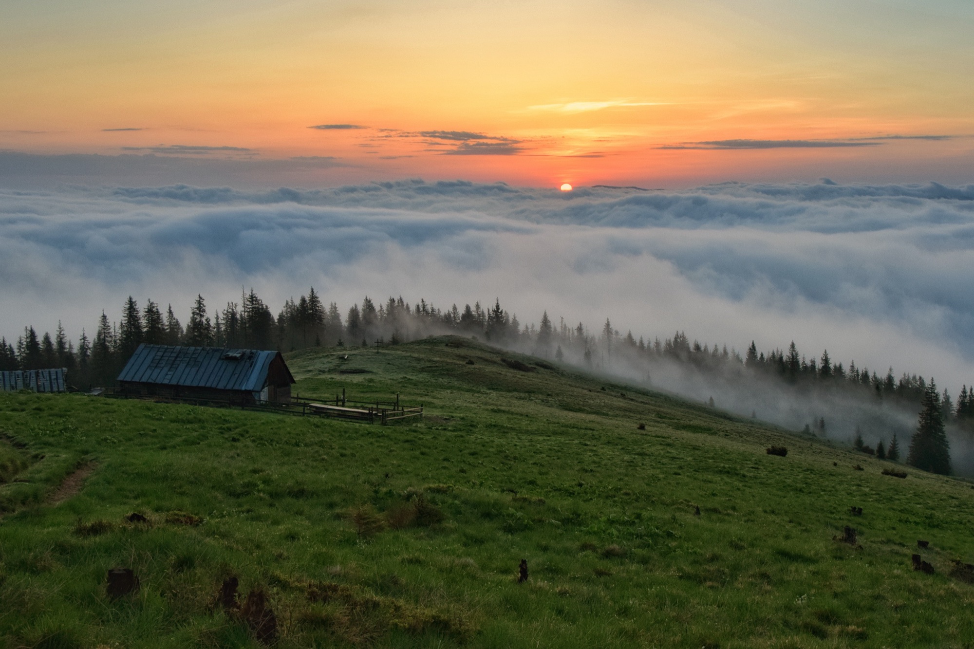 Medium
Kukul from Vorokhta
An ascent of Kukul (1539 m) from Vorokhta on the blue trail past Oseredok, over the Pereslip pass and the Labieska meadow, out and back.
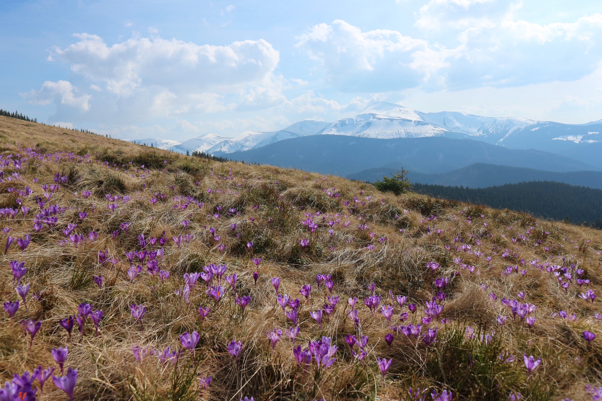 Easy
Kukul from Zavoiela
An ascent of Kukul (1539 m) from the Carpathian National Nature Park checkpoint in Zavoiela on the blue trail over the Zakukul meadow, out and back.