Shybene — Pip Ivan · out and back
- Distance
- 21.8 km · out and back
- Elevation gain
- ↑ 1343 m
- On the trail
- 9 h
- Highest point
- 2028 m
- Trailhead elevation
- ~848 m · Shybene
- Max steepness
- ≈31% over 200 m
- Difficulty
- Medium
ROUTE OVERVIEW
Ukraine's third-highest summit, where State Emergency Service rescuers have been on duty round the clock since 2017.
An ascent of Pip Ivan Chornohirskyi (2028 m), the third-highest summit of Ukraine, from Shybene, a hamlet on the Chornyi Cheremosh. The green waymarked trail starts by the border-guard post and goes all the way to the top: up the valley of the Shybenyi stream, through the Pohorilets tract, across the Vesnarka meadow and past the glacial Lake Maricheika. Back the same way.
These waymarks are given by Wikipedia and OpenStreetMap. The Carpathian National Nature Park runs its «To Mount Pip Ivan» eco-trail up this valley: 10.3 km and 5 hours one way from the building of the park's research department.
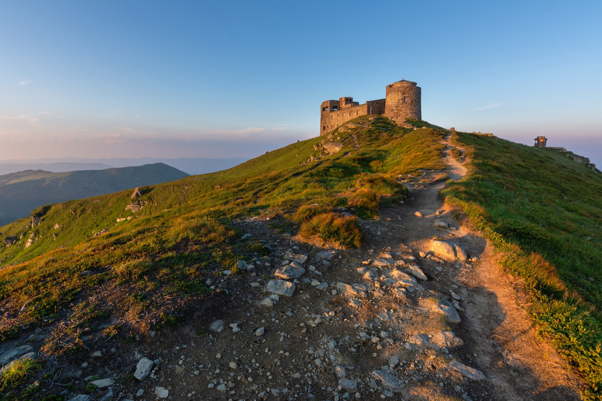
The summit holds the building of the «White Elephant» observatory, opened in 1938. Since 2017 State Emergency Service rescuers have been on duty there round the clock; they walk this trail for their shift changes.
Wikipedia gives about 5 hours up and 4 down. Past the treeline at km 8.1 the path goes through dwarf pine, and the last kilometre and a half is open slope. Weather there changes fast, so carry a rain shell and a warm layer, and turn back in a thunderstorm or fog. There are streams in the forest above Maricheika, while high springs may run dry.
From 22 November daylight in Shybene is shorter than the 9 hours of walking. Late in autumn, carry a headlamp.
The whole trail lies in the border zone, where nobody is let in without a border-guard permit.
- Pip Ivan Chornohirskyi is 2028 m — the third-highest summit of Ukraine after Hoverla and Brebeneskul
- The summit holds the building of the «White Elephant» observatory, opened in 1938; since 2017 State Emergency Service rescuers have been on duty there round the clock
- From Shybene a single green waymarked trail leads to the summit — past Lake Maricheika
Elevation profile
21.8 km · ↑ 1343 m
Route map
All routes on the mapSTAGE BY STAGE
- 0 kmShybeneStart by the border-guard post, at the bus terminus; the first 0.7 km is a village road
- 3.1 kmPohorilets tractA bridge over the Pohorilets stream at km 2.8, then a chapel in the tract
- 5.4 kmVesnarka meadowOut of the forest onto a meadow where cattle graze; at km 6.2 a ford and a spring
- 7.6 kmLake MaricheikaA glacial lake at 1510 m, the second-largest in Chornohora
- 8.1 kmTreelineThen dwarf pine, and from km 9.4 an open slope to the top
- 10.9 kmPip IvanThe summit with the observatory building. Back the same way2028 m
- 21.8 kmShybeneBack the same way
BEFORE YOU GO
The permit comes from the 31st Border Guard Detachment. The order bans entry into the border zone, tourism included, and names the Pohorilets tract, the Vesnarka meadow, Lake Maricheika and Pip Ivan — every place on this trail (order of the 31st Border Guard Detachment No. 1663-АГ of 23 May 2024, paras. 1.1, 1.11, checked 26 October 2026); its exceptions are residents, workers and landowners with a permit. 24 Kanal wrote in 2025 that the climb is possible with the detachment's permit; do not set out without an answer to your application. Apply in advance: an application is decided within 10 working days; carry an ID document and, for men aged 18–60, a military registration document. The trail runs through the Carpathian National Nature Park: by the park's prices an excursion visit to the «To Mount Pip Ivan» eco-trail costs 100 UAH for an adult and 50 UAH for a child; the park does not say whether, or where, those walking on their own pay (checked 20 October 2026). How to apply for the permit
IF SOMETHING HAPPENS
- 101State Emergency Service — mountain emergency call
- 112Single emergency number: goes through any network in range, even without your carrier’s coverage
- Rescue in the MountainsThe rescue service’s app, install in advance — it sends your coordinatesApp StoreGoogle Play
- "White Elephant" observatory (Pip Ivan)Rescue post · ≈ 8.5 km in a straight line from the start
OTHER APPROACHES
 Hard, entry feePermit: The route enters the border zone. The permit comes from the 31st Border Guard Detachment (DPSU): apply in advance with your route and dates; review takes up to 10 working days.
Chornohora Traverse: Hoverla → Pip Ivan
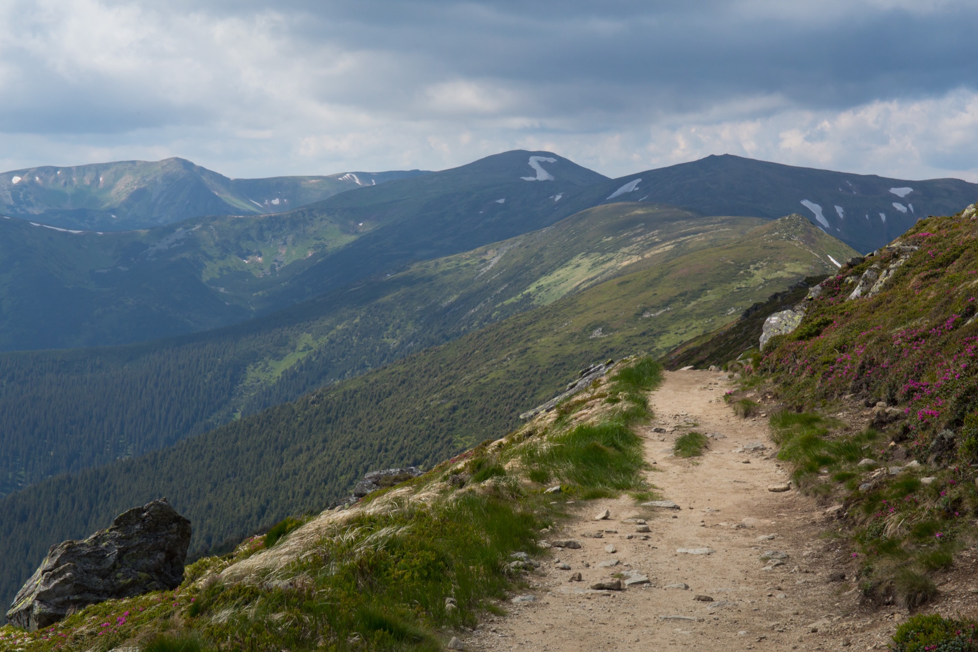
A traverse of the Chornohora main ridge from the Zaroslyak base: up Hoverla, 18 km along the ridge on the red trail to Pip Ivan and down to Upper Dzembronya, one way, usually over two days.
 HardPermit: The route enters the border zone. The permit comes from the 31st Border Guard Detachment (DPSU): apply in advance with your route and dates; review takes up to 10 working days.
Pip Ivan from Dzembronya
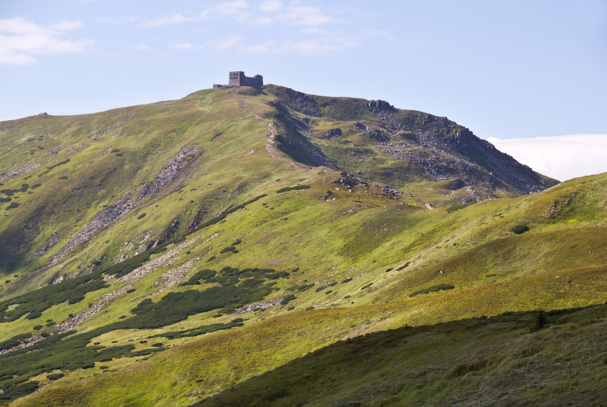
An ascent of Pip Ivan Chornohirskyi (2028 m) from Dzembronya — past the waterfalls and Vukhatyi Kamin or over the top of Smotrych, out and back.