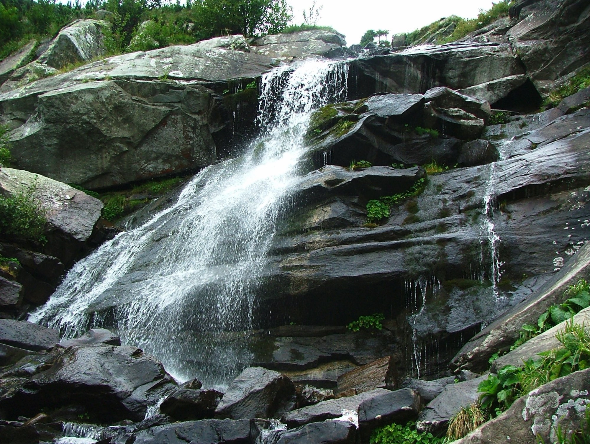
Zaroslyak — Prut Waterfall · out and back
- Distance
- 3.7 km · out and back
- Elevation gain
- ↑ 224 m
- On the trail
- up to 2 h
- Trailhead elevation
- ~1265 m · Zaroslyak
- Max steepness
- ≈21% over 200 m
- Difficulty
- Easy
ROUTE OVERVIEW
Six cascades of the Prut falling 80 m in all, 30–40 minutes from Zaroslyak.
The Prut Waterfall (also called the Hoverla Waterfall) is a cascade on the Prut river on the slope of Hoverla. The water drops 80 m in total; the highest of its six cascades is 12 m.
It starts where the Hoverla hike does — at the Zaroslyak base. After a few hundred metres the path to the waterfall leaves the Hoverla trails and follows the stream. It is 30–40 minutes there and the same way back.
Descriptions of the path warn of many side paths and a steep last stretch. OpenStreetMap has shown it with yellow waymarks since October 2026, but the descriptions we found do not mention waymarks. Carry the track and shoes that grip on wet rock.
- The water drops 80 m in total
- Six cascades, the highest 12 m
- The waterfall is on the Prut river, east of Hoverla
- 30–40 minutes on foot from the Zaroslyak base
Elevation profile
3.7 km · ↑ 224 m
Route map
All routes on the mapSTAGE BY STAGE
- 0 kmZaroslyakTrailhead at the «Start to Hoverla» sign, shared with the Hoverla trails~1265 m
- 0.2 kmTurn-off to the waterfallThe path leaves the Hoverla trails and follows the stream
- 1.8 kmPrut WaterfallCascades 80 m high; several viewpoints nearby
- 3.7 kmZaroslyakBack the same way~1265 m
BEFORE YOU GO
Zaroslyak and the slopes of Hoverla lie in the Carpathian National Nature Park: a visitor fee is charged at the park entrance.
IF SOMETHING HAPPENS
- 101State Emergency Service — mountain emergency call
- 112Single emergency number: goes through any network in range, even without your carrier’s coverage
- Rescue in the MountainsThe rescue service’s app, install in advance — it sends your coordinatesApp StoreGoogle Play
- Zaroslyak postRescue post · at the start of the route