Zaroslyak — Brebeneskul · out and back
- Distance
- 24.3 km · out and back
- Elevation gain
- ↑ 1112 m
- On the trail
- 10 h
- Highest point
- 2038 m
- Trailhead elevation
- ~1265 m · Zaroslyak
- Max steepness
- ≈42% over 200 m
- Difficulty
- Medium
ROUTE OVERVIEW
Ukraine's second-highest summit, above the country's highest lake.
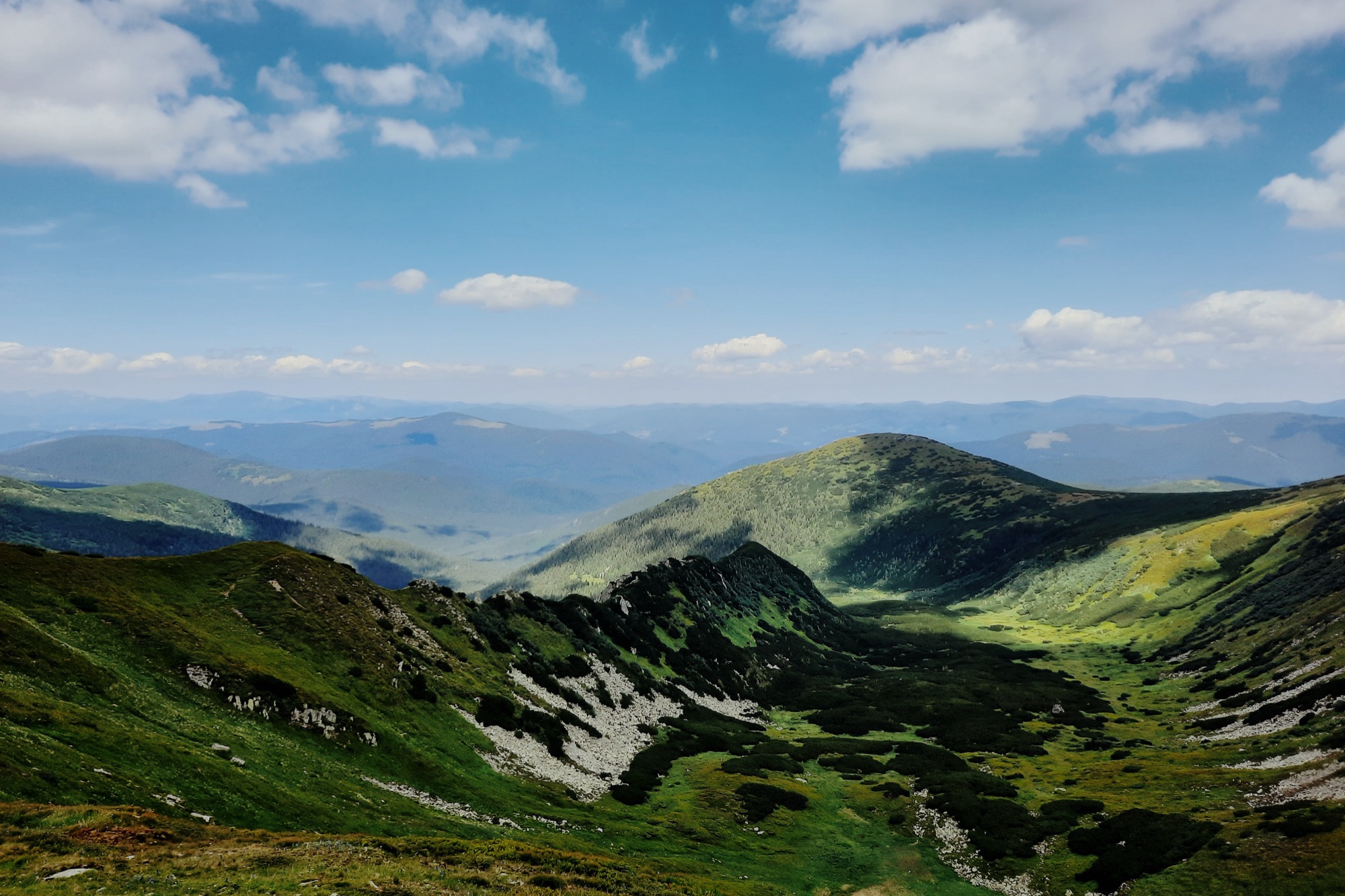
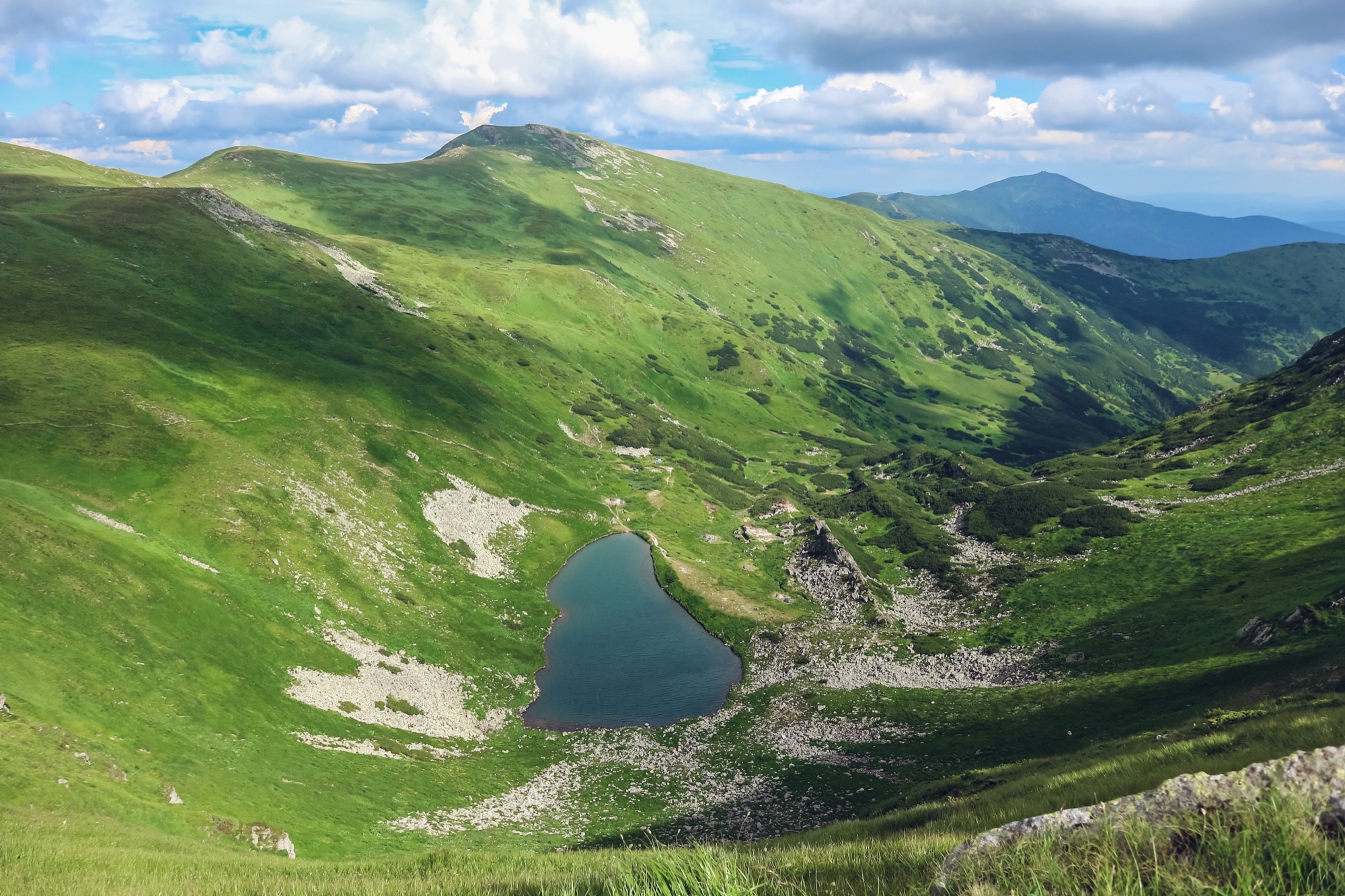
Brebeneskul (2038 m; other figures give 2035 or 2032 m) is Ukraine's second-highest summit after Hoverla. It stands on the Chornohora main ridge between Rebra to the north-west and Menchul to the south-east. West of the summit, in a glacial cirque, lies Lake Brebeneskul (1801 m), the highest lake in Ukraine.
One waymarked line leads from the Zaroslyak base to the summit. The yellow trail runs through the forest and across the Pozhyzhevska meadow to Lake Nesamovyte. Below the lake there is a steep step and a bog that stays wet all summer (Marian Slabinoha, 2021). From the lake a path meets the red trail — the Transcarpathian Tourist Trail — which runs south along the ridge over the Rebra massif. The green trail from Bystrets ends at the «Below Rebra» signpost: per Wikipedia, it meets the red here, while in OpenStreetMap the signpost stands ~170 m off the red, reached by 0.35 km of path that OpenStreetMap does not tag as waymarked.
As Slabinoha describes it (2021), a gentle path leads down from Rebra to the fork below Hutyn Tomnatyk. Where it nears the slope of Hutyn, Lake Brebeneskul comes into view from the ridge. The red trail then runs above the lake to the saddle below Brebeneskul and skirts the summit on its slope, 180 m off. A crest path leads to the top itself, 0.4 km and unmarked (OpenStreetMap). The way back is the same.
The red trail also runs along the ridge from Hoverla — about 10.5 km to Brebeneskul. From Zaroslyak over Hoverla, out and back comes to ≈ 18 hours by estimate, longer than the longest day of the year (16 hours), so it is not given here as a day hike.
There is no quick way down off the ridge between Nesamovyte and Brebeneskul. The green trail from below Rebra down to Bystrets takes 6.5 hours from the summit, per Wikipedia. Hikers in 2020–2023 describe the path down the Brebeneskul stream to Luhy as washed out by floods and hard to follow.
Weather on the ridge turns fast: a thunderstorm with hail and squalls can blow in within 20–30 minutes even on a clear day. Carry a rain shell and a warm layer, and turn back in a thunderstorm or fog. In mid-June there can still be snow on the slopes.
In autumn, daylight at Zaroslyak shrinks from 13.4 hours in early September to 8.7 in late November. From early November it is shorter than the 10 hours of walking, so in autumn part of the way will most likely be walked in the dark: carry a headlamp.
Brebeneskul is on the list of border-zone places closed to visitors without a border-guard permit, so a permit is needed.
- Brebeneskul is 2038 m, Ukraine's second-highest summit after Hoverla
- From Zaroslyak — the yellow trail to Lake Nesamovyte, then the red along the ridge over Rebra
- Below the summit, in a glacial cirque, lies Lake Brebeneskul, the highest in Ukraine
- The red trail skirts the summit; the top is 0.4 km up an unmarked crest path
Elevation profile
24.3 km · ↑ 1112 m
Route map
All routes on the mapSTAGE BY STAGE
- 0 kmZaroslyakTrailhead at the «Start to Hoverla» sign; the «To Lake Nesamovyte» signpost is next to it~1265 m
- 1.8 kmPozhyzhevska meadowThe trail leaves the forest for the meadow; the Pozhyzhevska weather station is nearby
- 4.9 kmDantsezhyk waterfallA waterfall by the trail
- 7 kmLake NesamovyteGlacial lake, 1750 m. The yellow trail ends here; from here the red trail runs south along the ridge1750 m
- 8.8 kmBelow RebraA signpost at 1930 m, the end of the green trail from Bystrets. Per Wikipedia it stands on the red; in OpenStreetMap it is ~170 m off, and 0.35 km of path that OpenStreetMap does not tag as waymarked leads to it from the red at 9.0 km
- 10.2 kmFork below Hutyn TomnatykThe «Below Hutyn Tomnatyk» signpost; Lake Brebeneskul is in view from the ridge. An unmarked path leads from here up Hutyn Tomnatyk
- 11.7 kmSaddle below BrebeneskulThe path leaves the red trail here, which goes on to skirt the summit; the top is 0.4 km up the crest, unmarked
- 12.1 kmBrebeneskulSummit, 2038 m. Back the same way2038 m
BEFORE YOU GO
The permit comes from the 31st Border Guard Detachment: Brebeneskul is on the list of places the State Border Guard Service closed to visitors without one (spelled «Беребенскул» in the order; order of the 31st Border Guard Detachment No. 1663-АГ of 23 May 2024, para. 1.11, checked 26 October 2026). Apply in advance: an application is decided within 10 working days; carry an ID document and, for men aged 18–60, a military registration document. Zaroslyak lies in the Carpathian National Nature Park: the visitor fee is charged at the park checkpoint on the way in, in Zavoiela. How to apply for the permit
IF SOMETHING HAPPENS
- 101State Emergency Service — mountain emergency call
- 112Single emergency number: goes through any network in range, even without your carrier’s coverage
- Rescue in the MountainsThe rescue service’s app, install in advance — it sends your coordinatesApp StoreGoogle Play
- Zaroslyak postRescue post · at the start of the route