Upper Dzembronya — Menchul · out and back
- Distance
- 19.8–27.4 km · out and back
- Elevation gain
- ↑ 1248–1820 m
- By trail
- Through the Chufrova meadow19.8 km · ↑ 1248 m
- Past the waterfalls and Vukhatyi Kamin27.4 km · ↑ 1792 m
- Over the top of Smotrych24.6 km · ↑ 1820 m
- On the trail
- ≈ 11–15.5 h, estimate
- Highest point
- 1998 m
- Trailhead elevation
- ~813 m · Upper Dzembronya
- Max steepness
- ≈48% over 200 m
- Difficulty
- Hard
ROUTE OVERVIEW
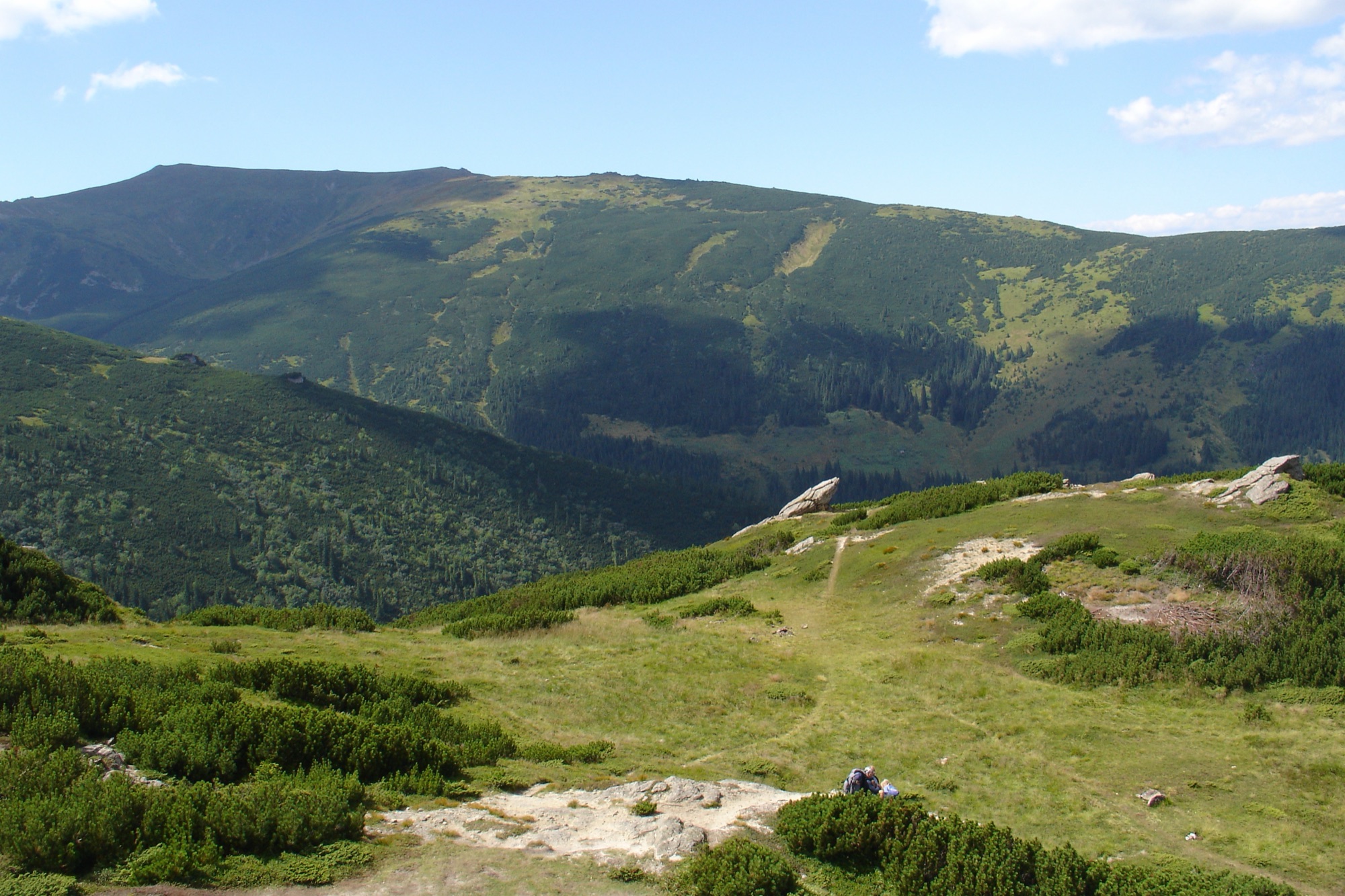
A summit of the Chornohora main ridge, 1998 m, between Mount Dzembronya and Brebeneskul.
An ascent of Menchul (1998 m, also called Munchel) from Upper Dzembronya. It is a summit of the Chornohora main ridge between the Dzembronya and Brebeneskul peaks. Three trails lead to it.
Through the Chufrova meadow is the shortest, and Wikipedia calls it the classic route. The green waymarked trail climbs through the forest up the Dzembronya valley to the Chufrova meadow; Andriy Plishko (2014) gives about an hour and a half for this climb. From there the last 3.8 km to the summit carry no waymarks. Per his account, you turn off the meadow to the right and up a stream bed, as the main path leads to the saddle below Smotrych. In the stream bed the path is barely visible, in the dwarf pine it is well cut, and higher up, on the grass, it vanishes again.
Past the waterfalls and Vukhatyi Kamin and over the top of Smotrych are waymarked trails, the same as on Pip Ivan from Dzembronya: blue to the Smotrych meadow and on in two branches, yellow up to the main ridge. On the ridge the red trail, the Transcarpathian Tourist Trail, leads north over the Dzembronya peak. Menchul itself lies a little off it: an unmarked side path leads to the summit.
On the summit, per a 2009 account, stands an old border post between the then Poland and Czechoslovakia, with remains of First World War trenches around it.
No source gives an out-and-back time: there is only an hour and a half to the Chufrova meadow and about an hour along the ridge from Mount Dzembronya to Menchul (Wikipedia). So the page shows an estimate. The weather on the ridge turns fast — carry a rain shell and a warm layer, and turn back in a thunderstorm or fog.
In autumn the daylight in Dzembronya shrinks from 13.4 hours in early September to 8.7 in late November, and from mid-October it is shorter than 11 hours — the estimate for the shortest trail. So late in the autumn part of the way will most likely be walked in the dark: carry a headlamp.
Menchul is most likely on the list of border-zone places closed without a border guard permit; Smotrych and Vukhatyi Kamin certainly are.
- Menchul (Munchel) is 1998 m, a summit of the Chornohora main ridge between the Dzembronya and Brebeneskul peaks
- Through the Chufrova meadow — a green trail, the last 3.8 km to the summit unmarked
- Along the ridge — waymarked trails, blue, yellow and red; a side path leads to the summit itself
Elevation profile
19.8 km · ↑ 1248 m
The green trail runs up the Dzembronya valley to the Chufrova meadow. From there the last 3.8 km to the summit are unmarked; per Andriy Plishko (2014), you turn off right and up a stream bed, the path is cut through the dwarf pine and vanishes on the grass higher up.
Route map
All routes on the mapSTAGE BY STAGE · Through the Chufrova meadow
- 0 kmUpper DzembronyaStart at the bus stop
- 6.1 kmChufrova meadowThe green trail ends here. No waymarks from here to the summit — turn right and up the stream bed
- 9.9 kmMenchulThe 1998 m summit. Back the same way1998 m
BEFORE YOU GO
The permit comes from the 31st Border Guard Detachment. Menchul is not named word for word on the list of places the State Border Guard Service closed to visitors without one, but among the main-ridge peaks the list has «Пожижевська Мергул» — most likely Pozhyzhevska and Menchul written without a comma, as Vikna read it too (order of the 31st Border Guard Detachment No. 1663-АГ of 23 May 2024, para. 1.11, checked 26 October 2026); Smotrych and Vukhatyi Kamin, which the ridge trails cross, are on it. Apply in advance: an application is decided within 10 working days; carry an ID document and, for men aged 18–60, a military registration document. According to 2025 accounts, the checkpoint before Dzembronya checks the application to the 31st detachment and documents. The Carpathian National Nature Park's price list has no fee for this approach. How to apply for the permit
IF SOMETHING HAPPENS
- 101State Emergency Service — mountain emergency call
- 112Single emergency number: goes through any network in range, even without your carrier’s coverage
- Rescue in the MountainsThe rescue service’s app, install in advance — it sends your coordinatesApp StoreGoogle Play
- "White Elephant" observatory (Pip Ivan)Rescue post · ≈ 7.3 km in a straight line from the start